Category: Geography & Maps, Historic maps
Results

Search through one hundred maps, drawn from the Beinecke's vast collection of American and European cartography, depicting early representations of New England and North America. The Collection 100 maps, primarily woodcuts and printed engravings, from the Beinecke Library's Western Americana and General collections. Yale Collection of Western Americana, Beinecke Rare Book and Manuscript Library, Yale University
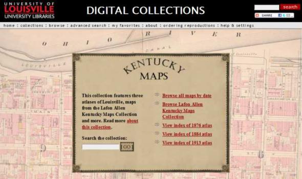
DIGITAL COLLECTIONS by Tom Owen Historic maps attract inquiry on several levels. For some, they are works of art with color coding and linear preciseness. Early maps also reveal the limits of the known that the cartographer faced and the terrible limits on the information gathering techniques that were available to them. Indeed, maps are always a study in "looking through a glass darkly." Historic maps are a delightful testimony to the archetypal human need to know. As we look upon this collection of Kentucky maps we marvel at the intense curiosity about a single place - sometimes the tiniest place - that the map maker chose to record.