Category: Geography & Maps
Results
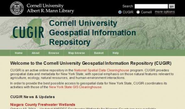
CUGIR: Cornell University Geospatial Information Repository About the Cornell University Geospatial Information Repository (CUGIR) CUGIR is an active online data and metadata repository and a participating node in the National Spatial Data Infrastructure program. CUGIR provides open and free access to geospatial data and metadata for New York State, with special emphasis on natural features relevant to agriculture, ecology, natural resources, and human-environment interactions. Subjects such as landforms and topography, soils, hydrology, environmental hazards, agricultural activities, wildlife and natural resource management are appropriate for inclusion in the CUGIR catalog.

browse through the collection without a specific search search multiple fields at one time and limit search results view collection items you have saved to your own favorites page ask an archivist about this site or any aspect of OSU archives Click on the highlighted areas.
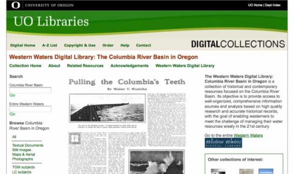
About - Columbia River Basin Project Background The University of Oregon Libraries are participating in a collaborative project to develop a digital collection of print, image, cartographic, and other format materials relating to the waters of the Western United States. The project is partially funded by a grant from the Institute of Museum and Library Services (IMLS) and is administered centrally by the Greater Western Library Alliance (GWLA) of which the UO Libraries are a member. The Western Waters Digital Library (WWDL) is a distributed collection of materials from research institutions in the Western United States of America.
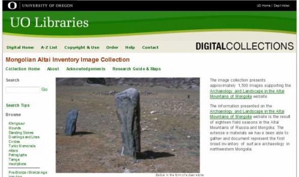
About - Mongolian Altai Image Collection The image collection presents approximately 1,500 images supporting the Archaeology and Landscape in the Altai Mountains of Mongolia website. The information presented on the Archaeology and Landscape in the Altai Mountains of Mongolia website is the result of eighteen field seasons in the Altai Mountains of Russia and Mongolia. The extensive materials we have been able to gather and document represent the first broad inventory of surface archaeology in northwestern Mongolia.
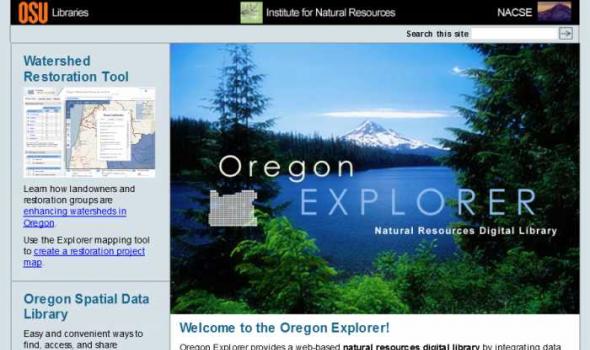
Oregon Explorer is a comprehensive digital library of Oregon's natural resources. This state-of-the-art, Web-based resource uses advanced information technology to access and integrate data from state and federal agencies, local governments, university scientists, citizens, and K-12 educators and students. It supports informed decisions and actions by people concerned with Oregon's natural resources and environment.
Through a series of geographic, data and topic-based Web portals, Oregon Explorer helps users:

About Oregon Maps The University of Oregon Libraries and the Oregon State University Libraries present the Oregon Maps online collection in celebration of Oregon's sesquecentennial. Whether traveling city streets and country roads, or observing forests and farms from an airplane window, the patterns of the landscape have come to resemble the maps we draw. As European settlers populated Oregon, Western traditions of cartography came as well. One hundred and fifty years later, the Jeffersonian survey grid is imprinted in everyone's mind as most of Oregon's roads and property boundaries have been drawn on top of our Public Land Survey System. Maps are not simple representations of the world.
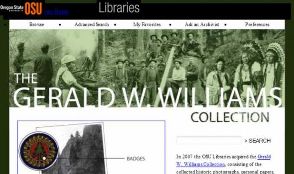
The Gerald W. Williams Collection In 2007 the OSU Libraries acquired the Gerald W. Williams Collection , consisting of the collected historic photographs, personal papers, and research library of Gerald "Jerry" Williams, former national historian for the U.S. Forest Service. Williams, a native Oregonian, spent much of his Forest Service career in the Pacific Northwest, prior to being appointed national historian in 1998. This digital collection includes some of the best imagery from the Williams Collection, including photos of the WWI era Spruce Production Division , logging photos of northwest Oregon taken by John Fletcher Ford , photos of Celilo Falls taken in 1956 by Jack Williams, and photos of depression era Civilian Conservation Corps camps and activities.
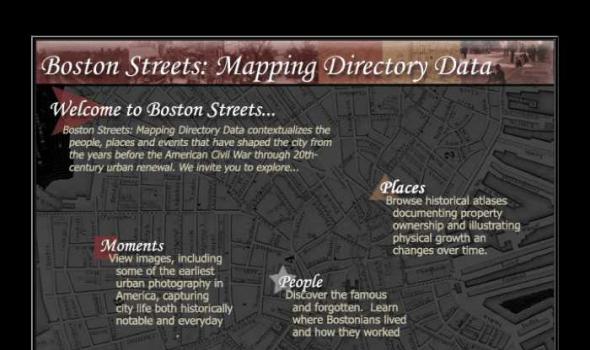
Visit Cowpaths (opens a new window) View all Boston Streets images (Using the Tufts Digital Library) Browse all Boston city atlases (Using the Tufts Digital Library) The Project: Boston Streets: Mapping Directory data was developed by the Digital Collections and Archives, Tufts University, with support from a National Leadership Grant from the Institute of Museum and Library Services . Additional support was provided by Docema, The Bostonian Society , and other anonymous gifts. The Bostonian Society provided more than 3000 images to the project and was also a major partner in developing descriptive cataloging specifications.
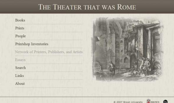
The Theater that was Rome About From the sixteenth through the eighteenth centuries, when the books, maps and single sheet prints that appear on this web site were made, Rome presented itself as a theater of the most advanced engineering feats of the period, as well as of the technological skills to execute and record the decorative programs that went with them. Maps of the city in its new guise as the powerful center of Christendom also documented the growth of curiosity about its antique history and pagan past, displaying all the forms of cartographic knowledge available throughout the period.
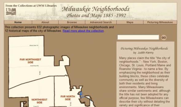
About the Collection Milwaukee and Art Work of Milwaukee Milwaukee Neighborhoods: Photos and Maps 1885 - 1992 presents images of Milwaukee neighborhoods from the Far Northwest Side to the Far South Side. The selection of images is limited by the current boundaries of the city of Milwaukee. The digital collection provides a visual documentation of the development of the city of Milwaukee from the mid-1880s to the early 1990s. It includes images of residential and industrial facilities, local businesses, historic buildings, churches, and numerous Milwaukee parks.
Scope and Content The Digital Sanborn Maps of Milwaukee 1894 & 1910 brings online 2 fire insurance atlases featuring detailed color maps of Milwaukee. Produced by the Sanborn Map Company, the 1894 atlas includes four volumes, consisting of 450 map sheets and the 1910 atlas includes eight volumes, consisting of 830 map sheets. Sanborn maps were designed to assist fire insurance agents with insuring property. Produced for over 12,000 urbanized areas in the United States, Sanborn maps have been described by the Library of Congress as "the single most important record of urban growth and development in the United States during the past one hundred years." Sanborn maps are excellent historical resources for academic, professional and personal needs.

Comments to: UMDL Help About the collection This project is comprised of texts which were digitized in two groups. The first group contains four accounts of travel in southeastern Europe, each of which contains a significant portion devoted to Bosnia and Hercegovina. The texts were chosen because they were not copyright restricted, had coverage that fit the above profile, and duplicated holdings in University of Michigan Library's collection, which were either copies or microfilms. The four texts are: Bosnie et Herzegovin: Souvenirs de Voyage pendant l'Insurrection, by Charles Yriarte, published in Paris by E. Plon et Cie, 1876; Dalmatia: the Land Where East Meets West, by Maude M.
The Great Lakes and their connecting channels from the largest aggregation of freshwater on the planet (excluding the polar ice caps). The watershed includes parts or all of eight U.S. states and the Canadian province of Ontario. The Lakes are the dominant and defining geological characteristic of the upper Midwest, affecting the social, economic, recreational and ecological life of the region. Bordering as it does on four of the five Great Lakes, the State of Michigan and its universities understand the importance of the Lakes for the future vitality of our state. Accordingly the University of Michigan has pursued an active research program in this area, and seeks to share some of its findings through this site.

The Michigan County Histories and Atlases Digitization Project is comprised of 428 digitized titles (many composed of multiple volumes) published before 1923. The collection offers all members of the community free keyword searching and page-by-page access to digitized reproductions of Michigan county histories and atlases as a resource for historical and genealogical research. The collection is made possible, in part, through a generous Library Services and Technology Act (LSTA) grant. Additional funding was provided by Michigan Council of Library Directors institutions and a Michigan Digitization and Preservation for Access grant.

aking of America (MOA) represents a major collaborative endeavor to preserve and make accessible through digital technology a significant body of primary sources related to development of the U.S. infrastructure. With funding from the Andrew W. Mellon Foundation , MOA seeks to involve research institutions and national consortia to develop common protocols and consensus for the selection, conversion, storage, retrieval, and use of digitized materials on a large, distributed scale. The initial phase of the project, begun in the fall of 1995, focused on developing a collaborative effort between the University of Michigan and Cornell University .
Introduction The Ann Arbor District Library, the University of Michigan University Library and the U-M’s Bentley Historical Library have entered into a partnership to create The Making of Ann Arbor, an online, public website on the history and development of the Ann Arbor community. MOAA is an illustrated narrative about Ann Arbor from its pioneer days when it was part of Michigan Territory to the early twentieth century. The project draws upon the three libraries’ resources and the expertise of all three partners to build a website of interest to the citizens of Ann Arbor. In addition to the illustrated narrative history of our city, the website has a searchable image database, including many photographs and other visual images not used in the narrative.
Doukhobor Collection of Simon Fraser University About the Collection The Simon Fraser University Library Doukhobor Collection is comprised of over 700 primary source items (totaling over 3,300 images) dating from 1898 to 1975. Among these items are a variety of scanned manuscripts, photographs, books and book chapters, journals, magazine articles, financial documents and interviews. The items in the Collection largely deal with the settlement of the Doukhobors in late 19th - early 20th century Canada. This material represents a significant portion of the manuscripts and photographs but only a fraction of the books and periodicals in the Library's holdings. The collection includes items in both English and Russian.

The Kirk Papers is a collection of photographs and papers belonging to East Africa pioneer Sir John Kirk. It was acquired for the National Library of Scotland in 1998/1999 with the help of a grant of £55,000 from the Heritage Lottery Fund.
Though not as well-known as his friend and fellow-explorer David Livingstone, Kirk was a trail-blazer of empire in East Africa and a man of eminence in his day. Born in Barry, Angus, in 1832, Kirk qualified in medicine at Edinburgh University and then volunteered for medical service in the Crimea. An accomplished botanist, zoologist and diplomat, he was also a talented photographer. This is evident from the collection of over 250 photographs, many of them stunning.
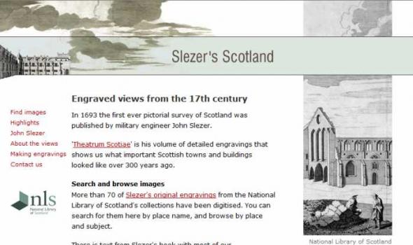
In 1693 the first ever pictorial survey of Scotland was published by military engineer John Slezer.
'Theatrum Scotiae' is his volume of detailed engravings that shows us what important Scottish towns and buildings looked like over 300 years ago.
Search and browse images
More than 70 of Slezer's original engravings from the National Library of Scotland's collections have been digitised. You can search for them here by place name, and browse by place and subject.
There is text from Slezer's book with most of our zoom-and-pan images, and we give links to relevant online maps.

Mapmaking and printing from 1820 to 2002
The Bartholomew Archive is the remarkable record of the Edinburgh-based firm of map engravers, printers and publishers, John Bartholomew & Son Ltd. It is one of the most extensive cartographic archives available for research in a public institution.
Members of the Bartholomew family were engaged in map-making from the first known map engraving work of George Bartholomew in 1825. John Bartholomew junior started printing operations before 1870. For more than a century afterwards the Bartholomew firm specialised in high-quality map production.
Importance of the archive
The Bartholomew Archive enables us to:
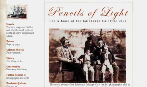
These two albums of the Edinburgh Calotype Club, the first photographic club in the world, are among the earliest photograph albums in the world ever assembled. They contain over 300 images by a group of pioneering Scottish photographers working in Edinburgh and St. Andrews.