Category: Area Studies, English, Maps
Results

Collections from the University of Alaska: Maps. The Rare Map Collection at the Rasmuson Library contains thousands of maps that document the history of Alaska, from 16th century speculative cartography to the gold rush era. This selection of maps provides basic coverage of the mapping of Alaska, from the early voyages of discovery through the sale of Russian America to the United States and the gold rush. The maps depict the growth of geographic knowledge that resulted from the great expeditions of the eighteenth and early nineteenth centuries,and also illustrate the carto-controversies that arose from various imagined geographies and fictitious voyages of discovery. A new map of the northeast coast of Asia, and the northwest coast of America, with the late Russian discoveries.
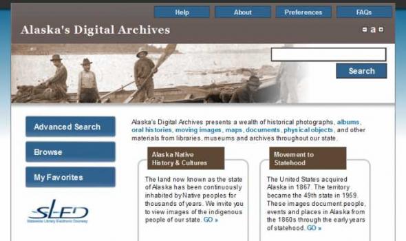
About Alaska's Digital Archives The Alaska Virtual Library and Digital Archives project is a collaborative effort initiated by the Rasmuson Library at the University of Alaska Fairbanks, the Consortium Library at the University of Alaska Anchorage, and the Alaska State Library in Juneau. Learn more about our partners . Now in its third phase, the initiative is funded by a congressional award and contributions from these institutions with additional support of the Rasmuson Foundation. The goal of the project is to support the instructional and research needs of Alaskans and others interested in Alaska history and culture. Initial activities focused on scanning, indexing, and placing 5,000 historical images into an online, searchable database.
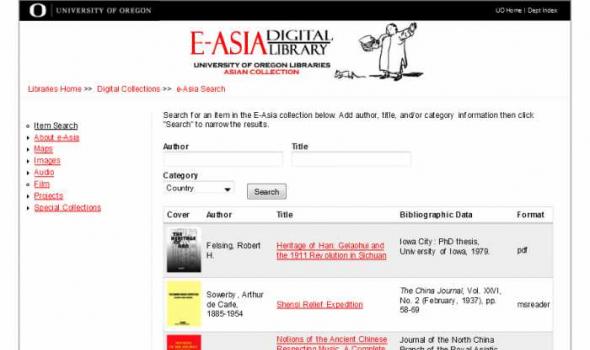
ABOUT e-ASIA The e-Asia project is funded by the University of Oregon Library through the generosity of Nissho Iwai.yella By building a collection of digitized e-books and a database of full text web resources, e-Asia strives to contribute to the research and scholarship of East Asia. While the e-Asia project is based largely on resources held at the University of Oregon Library, its purpose is neither to duplicate nor displace printed traditonal materials. Rather, by providing searchable full text, the digitalization efforts of e-Asia represent a new tool aimed at facilitating the information-gathering process.
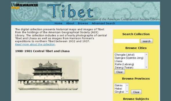
Scope and Content This digital collection presents a selection of historical maps and photographs of Tibet from the holdings of the American Geographical Society (AGS) Library. The collection consists of 1,090 images. It includes a unique set of 50 photographs of central Tibet and Lhasa taken by two Mongolian Buddhists, G. Ts. Tsybikoff and Ovshe Norzunoff, who visited Tibet in 1900 and 1901. The photographs represent the first photographic images of Potala Palace in Lhasa and other Tibetan monasteries. In addition, over 1,000 images of Tibet have been drawn from the extensive photographic collection of Harrison Forman. Photojournalist and explorer, Forman undertook three expeditions to remote areas of northern Tibet between 1932 and 1937.

Project Background This Pilot Project was first conceived in May 1999 to provide Web access to high use maps from the University of California-Berkeley's Earth Sciences and Map Library's collection. One-time funds were requested and received from the Library's collections budget to cover scanning and other project costs. The U.S. Geological Survey's topographic quadrangles of the San Francisco Bay region were selected for digitizing. These maps are in the Public Domain and have no copyright restrictions, plus the geographic area selected would be a high use to our primary clientele and of interest for off-site users. Access is provided to both the 15- and 7.5-minute USGS topographic quadrangles, spanning more than 100 years of mapping (1885-1999). Geographic coverage extends from Pt.