Category: Geography & Maps, Pacific Northwest
Results
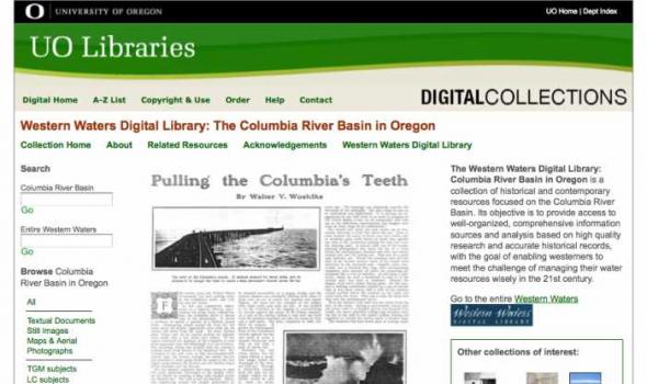
About - Columbia River Basin Project Background The University of Oregon Libraries are participating in a collaborative project to develop a digital collection of print, image, cartographic, and other format materials relating to the waters of the Western United States. The project is partially funded by a grant from the Institute of Museum and Library Services (IMLS) and is administered centrally by the Greater Western Library Alliance (GWLA) of which the UO Libraries are a member. The Western Waters Digital Library (WWDL) is a distributed collection of materials from research institutions in the Western United States of America.
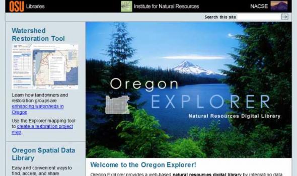
Oregon Explorer is a comprehensive digital library of Oregon's natural resources. This state-of-the-art, Web-based resource uses advanced information technology to access and integrate data from state and federal agencies, local governments, university scientists, citizens, and K-12 educators and students. It supports informed decisions and actions by people concerned with Oregon's natural resources and environment.
Through a series of geographic, data and topic-based Web portals, Oregon Explorer helps users:

About Oregon Maps The University of Oregon Libraries and the Oregon State University Libraries present the Oregon Maps online collection in celebration of Oregon's sesquecentennial. Whether traveling city streets and country roads, or observing forests and farms from an airplane window, the patterns of the landscape have come to resemble the maps we draw. As European settlers populated Oregon, Western traditions of cartography came as well. One hundred and fifty years later, the Jeffersonian survey grid is imprinted in everyone's mind as most of Oregon's roads and property boundaries have been drawn on top of our Public Land Survey System. Maps are not simple representations of the world.