Category: Geography & Maps, University of Louisville
Results
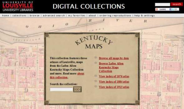
DIGITAL COLLECTIONS by Tom Owen Historic maps attract inquiry on several levels. For some, they are works of art with color coding and linear preciseness. Early maps also reveal the limits of the known that the cartographer faced and the terrible limits on the information gathering techniques that were available to them. Indeed, maps are always a study in "looking through a glass darkly." Historic maps are a delightful testimony to the archetypal human need to know. As we look upon this collection of Kentucky maps we marvel at the intense curiosity about a single place - sometimes the tiniest place - that the map maker chose to record.

DIGITAL COLLECTIONS About the Collection This collection contains 210 selected digital images and 3 digital videos from an archived community collection devoted to documenting one of the worst floods in Louisville's history. On the morning of August 4, 2009, record-breaking rains fell in central Louisville and surrounding counties between 7 am and 10 am EDT, with reported hourly rainfall rates as high as 8.83 inches. The Louisville Free Public Library's main branch and the University of Louisville's Belknap and Health Sciences campuses were particularly hard hit by the deluge.