Category: Geography & Maps, Map, Massachusetts
Results
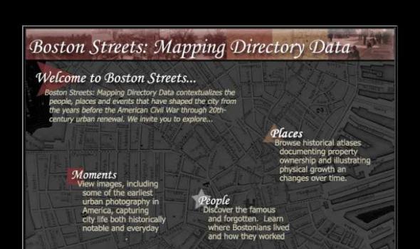
Visit Cowpaths (opens a new window) View all Boston Streets images (Using the Tufts Digital Library) Browse all Boston city atlases (Using the Tufts Digital Library) The Project: Boston Streets: Mapping Directory data was developed by the Digital Collections and Archives, Tufts University, with support from a National Leadership Grant from the Institute of Museum and Library Services . Additional support was provided by Docema, The Bostonian Society , and other anonymous gifts. The Bostonian Society provided more than 3000 images to the project and was also a major partner in developing descriptive cataloging specifications.

The fourth in a series of online collections from Harvard University, Expeditions and Discoveries delivers maps, photographs, and published materials, as well as field notes, letters, and a unique range of manuscript materials on selected expeditions between 1626 and 1953. The collection is made possible with the generous support of the Arcadia Fund . In the 19th and 20th centuries, Harvard University played a significant role—as underwriter, participant, collector, and repository—for pace-setting expeditions around the world. For Internet users, Expeditions and Discoveries provides selective access to Harvard’s multidisciplinary records of those expeditions.
The Harvard Map Collection is one of the oldest and largest collections of cartographic materials in the United States with over 500,000 items. Resources range from 16th century globes to modern maps and geographic information systems (GIS) layers. A selection of our materials has been digitally imaged and is offered both as true picture images and georeferenced copies. This Virtual Collection includes those maps and atlases that are available through the Harvard Image Delivery Service. Those maps that have been georeferenced are available through the Harvard Geospatial Library. Therefore, many of the maps listed will have two records, one for the image that is true to the original and the other a georeferenced image.