Category: Geography & Maps, Map, United States
Results
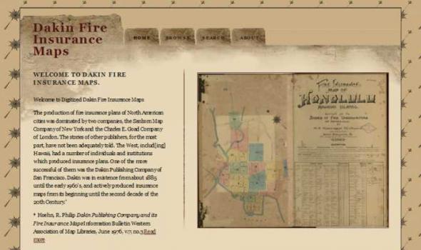
Dakin Fire Insurance Maps WELCOME TO DAKIN FIRE INSURANCE MAPS. Welcome to Digitized Dakin Fire Insurance Maps The production of fire insurance plans of North American cities was dominated by two companies, the Sanborn Map Company of New York and the Charles E. Goad Company of London. The stories of other publishers, for the most part, have not been adequately told. The West, includ[ing] Hawaii, had a number of individuals and institutions which produced insurance plans. One of the more successful of them was the Dakin Publishing Company of San Francisco. Dakin was in existence from about 1885 until the early 1960's, and actively produced insurance maps from its beginning until the second decade of the 20th Century. * * Hoehn, R.
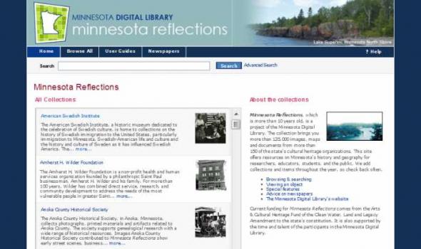
Minnesota Reflections Minnesota Reflections All Collections The American Swedish Institute, a historic museum dedicated to the celebration of Swedish culture, is home to collections on the history of Swedish immigration to the United States, particularly immigration to Minnesota, Swedish-American life and culture and the history and culture of Sweden as it has influenced Swedish America. The... more... The Amherst H. Wilder Foundation is a non-profit health and human services organization founded by a philanthropic Saint Paul businessman, Amherst H. Wilder and his family. For more than 100 years, Wilder has combined direct service, research, and community development to address the needs of the most vulnerable people in greater Saint... more...
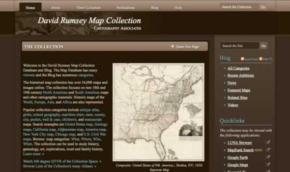
Welcome to the David Rumsey Map Collection Database and Blog. The Map Database has many viewers and the Blog has numerous categories . The historical map collection has over 34,000 maps and images online. The collection focuses on rare 18th and 19th century North American and South American maps and other cartographic materials. Historic maps of the World, Europe, Asia, and Africa are also represented.
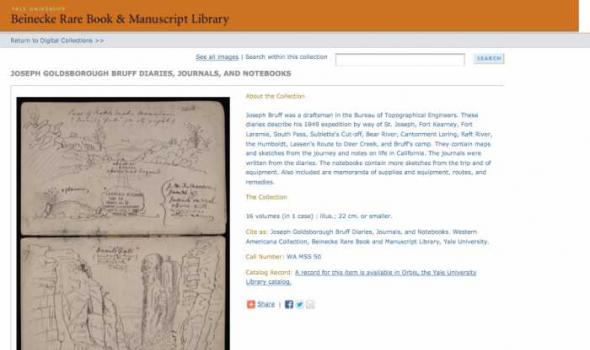
The Collection 16 volumes (in 1 case) : illus.; 22 cm. or smaller. Cite as: Joseph Goldsborough Bruff Diaries, Journals, and Notebooks. Western Americana Collection, Beinecke Rare Book and Manuscript Library, Yale University.

Search through one hundred maps, drawn from the Beinecke's vast collection of American and European cartography, depicting early representations of New England and North America. The Collection 100 maps, primarily woodcuts and printed engravings, from the Beinecke Library's Western Americana and General collections. Yale Collection of Western Americana, Beinecke Rare Book and Manuscript Library, Yale University

Collections from the University of Alaska: Maps. The Rare Map Collection at the Rasmuson Library contains thousands of maps that document the history of Alaska, from 16th century speculative cartography to the gold rush era. This selection of maps provides basic coverage of the mapping of Alaska, from the early voyages of discovery through the sale of Russian America to the United States and the gold rush. The maps depict the growth of geographic knowledge that resulted from the great expeditions of the eighteenth and early nineteenth centuries,and also illustrate the carto-controversies that arose from various imagined geographies and fictitious voyages of discovery. A new map of the northeast coast of Asia, and the northwest coast of America, with the late Russian discoveries.

I nteractive N umeric & S patial I nformation D ata E ngine Non-georeferenced Scanned Historic Air Photos for Idaho The Historic Air Photo online mapping application provides a way to geospatially locate a selected set of non-georeferenced scanned historic air photos for Idaho contained in the Idaho aerial views database. It allows users to determine the flight year, the University of Idaho CD-ROM call number, and the image name for every fifth image along a given project flight line.
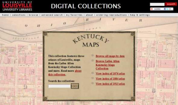
DIGITAL COLLECTIONS by Tom Owen Historic maps attract inquiry on several levels. For some, they are works of art with color coding and linear preciseness. Early maps also reveal the limits of the known that the cartographer faced and the terrible limits on the information gathering techniques that were available to them. Indeed, maps are always a study in "looking through a glass darkly." Historic maps are a delightful testimony to the archetypal human need to know. As we look upon this collection of Kentucky maps we marvel at the intense curiosity about a single place - sometimes the tiniest place - that the map maker chose to record.
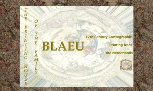
The Printing House of the Family Blaeu: 17th Century Cartographic Printing from the Netherlands During the seventeenth century the people of the seventeen united provinces of the Netherlands experienced a period of tremendous economic prosperity. As a water-logged society with few land-based natural resources of their own, the Dutch developed into a highly efficient maritime culture that feverishly explored the globe to find goods that were in demand on the continental European market. Along with numerous advances in the fields of science, industry, business, and linguistics, the Dutch also became experts at book and cartographic printing.

This collection consists of digitally reproduced images of paper maps from the Cornell University Library's Map Collection. Included are maps from locations around the world, ranging in date from the nineteenth century to the present. While this collection will continue to grow, it will still only represent a fraction of the 300,000 maps, atlases, and other forms of geospatial data that make up the Map Collection. Located in Olin Library, the Map Collection is open to the public.
CUGIR: Cornell University Geospatial Information Repository About the Cornell University Geospatial Information Repository (CUGIR) CUGIR is an active online data and metadata repository and a participating node in the National Spatial Data Infrastructure program. CUGIR provides open and free access to geospatial data and metadata for New York State, with special emphasis on natural features relevant to agriculture, ecology, natural resources, and human-environment interactions. Subjects such as landforms and topography, soils, hydrology, environmental hazards, agricultural activities, wildlife and natural resource management are appropriate for inclusion in the CUGIR catalog.
About - Columbia River Basin Project Background The University of Oregon Libraries are participating in a collaborative project to develop a digital collection of print, image, cartographic, and other format materials relating to the waters of the Western United States. The project is partially funded by a grant from the Institute of Museum and Library Services (IMLS) and is administered centrally by the Greater Western Library Alliance (GWLA) of which the UO Libraries are a member. The Western Waters Digital Library (WWDL) is a distributed collection of materials from research institutions in the Western United States of America.
Oregon Explorer is a comprehensive digital library of Oregon's natural resources. This state-of-the-art, Web-based resource uses advanced information technology to access and integrate data from state and federal agencies, local governments, university scientists, citizens, and K-12 educators and students. It supports informed decisions and actions by people concerned with Oregon's natural resources and environment.
Through a series of geographic, data and topic-based Web portals, Oregon Explorer helps users:

About Oregon Maps The University of Oregon Libraries and the Oregon State University Libraries present the Oregon Maps online collection in celebration of Oregon's sesquecentennial. Whether traveling city streets and country roads, or observing forests and farms from an airplane window, the patterns of the landscape have come to resemble the maps we draw. As European settlers populated Oregon, Western traditions of cartography came as well. One hundred and fifty years later, the Jeffersonian survey grid is imprinted in everyone's mind as most of Oregon's roads and property boundaries have been drawn on top of our Public Land Survey System. Maps are not simple representations of the world.
Visit Cowpaths (opens a new window) View all Boston Streets images (Using the Tufts Digital Library) Browse all Boston city atlases (Using the Tufts Digital Library) The Project: Boston Streets: Mapping Directory data was developed by the Digital Collections and Archives, Tufts University, with support from a National Leadership Grant from the Institute of Museum and Library Services . Additional support was provided by Docema, The Bostonian Society , and other anonymous gifts. The Bostonian Society provided more than 3000 images to the project and was also a major partner in developing descriptive cataloging specifications.
The Theater that was Rome About From the sixteenth through the eighteenth centuries, when the books, maps and single sheet prints that appear on this web site were made, Rome presented itself as a theater of the most advanced engineering feats of the period, as well as of the technological skills to execute and record the decorative programs that went with them. Maps of the city in its new guise as the powerful center of Christendom also documented the growth of curiosity about its antique history and pagan past, displaying all the forms of cartographic knowledge available throughout the period.
About the Collection Milwaukee and Art Work of Milwaukee Milwaukee Neighborhoods: Photos and Maps 1885 - 1992 presents images of Milwaukee neighborhoods from the Far Northwest Side to the Far South Side. The selection of images is limited by the current boundaries of the city of Milwaukee. The digital collection provides a visual documentation of the development of the city of Milwaukee from the mid-1880s to the early 1990s. It includes images of residential and industrial facilities, local businesses, historic buildings, churches, and numerous Milwaukee parks.
Scope and Content The Digital Sanborn Maps of Milwaukee 1894 & 1910 brings online 2 fire insurance atlases featuring detailed color maps of Milwaukee. Produced by the Sanborn Map Company, the 1894 atlas includes four volumes, consisting of 450 map sheets and the 1910 atlas includes eight volumes, consisting of 830 map sheets. Sanborn maps were designed to assist fire insurance agents with insuring property. Produced for over 12,000 urbanized areas in the United States, Sanborn maps have been described by the Library of Congress as "the single most important record of urban growth and development in the United States during the past one hundred years." Sanborn maps are excellent historical resources for academic, professional and personal needs.

The Michigan County Histories and Atlases Digitization Project is comprised of 428 digitized titles (many composed of multiple volumes) published before 1923. The collection offers all members of the community free keyword searching and page-by-page access to digitized reproductions of Michigan county histories and atlases as a resource for historical and genealogical research. The collection is made possible, in part, through a generous Library Services and Technology Act (LSTA) grant. Additional funding was provided by Michigan Council of Library Directors institutions and a Michigan Digitization and Preservation for Access grant.
About LA as Subject L.A. as Subject is a research alliance dedicated to preserving and improving access to the raw material of Los Angeles history. Much of the city’s history is preserved in libraries, museums, and other cultural institutions. Other valuable and unique collections – those that reveal the stories of neighborhoods, families, and influential Angelenos – are scattered across Southern California, curated by smaller institutions and individual enthusiasts. With an online directory of more than 230 separate collections, L.A. as Subject ensures that researchers know what materials are available, where they are located, and how to access them. L.A.

Project Background This Pilot Project was first conceived in May 1999 to provide Web access to high use maps from the University of California-Berkeley's Earth Sciences and Map Library's collection. One-time funds were requested and received from the Library's collections budget to cover scanning and other project costs. The U.S. Geological Survey's topographic quadrangles of the San Francisco Bay region were selected for digitizing. These maps are in the Public Domain and have no copyright restrictions, plus the geographic area selected would be a high use to our primary clientele and of interest for off-site users. Access is provided to both the 15- and 7.5-minute USGS topographic quadrangles, spanning more than 100 years of mapping (1885-1999). Geographic coverage extends from Pt.