Category: Area Studies
Results
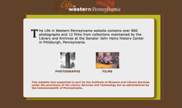
The website provides a visual record of changes in economic, social, and environmental life in the region as depicted in the evolving technology of photography. The time period covered in the website begins with the announcement in the Pittsburgh Gazette of the invention of a chemical process by Louis Daguerre. This process would later become known to the world as photography and would be used by generations of photographers to explore life and changes in Western Pennsylvania. “Life in Western Pennsylvania 1840-1970” is organized into three major categories:
1) Searchable database 2) Timeline 3) Section on preservation and identification of photographs. There are also sections on student activities, picture puzzles, e-cards, a teacher’s guide, and project documentation.

Project Background This Pilot Project was first conceived in May 1999 to provide Web access to high use maps from the University of California-Berkeley's Earth Sciences and Map Library's collection. One-time funds were requested and received from the Library's collections budget to cover scanning and other project costs. The U.S. Geological Survey's topographic quadrangles of the San Francisco Bay region were selected for digitizing. These maps are in the Public Domain and have no copyright restrictions, plus the geographic area selected would be a high use to our primary clientele and of interest for off-site users. Access is provided to both the 15- and 7.5-minute USGS topographic quadrangles, spanning more than 100 years of mapping (1885-1999). Geographic coverage extends from Pt.
- « first
- ‹ previous
- 1
- 2
- 3
- 4