Category: Arts & Humanities, Geography, Cornell University
Results
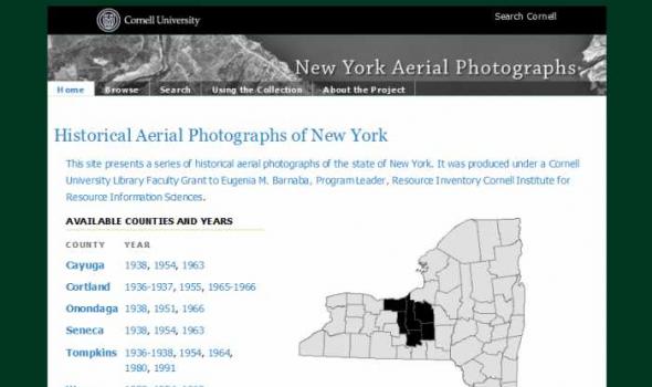
About the Project The Cornell Institute for Resource Information Sciences (IRIS) maintains a large and comprehensive collection of aerial photographs for New York State dating from 1936 through 1995. The archive numbers some 50,000 images that cover 48 counties, many counties of which have at least three years of historic sequence. The photographs are primarily black and white direct contact prints, and in hard copy form they measure from 7” x 9” to 9” x 9” in size; scales vary. Historic aerial photographs are valuable resources for landscape and land use analysis, assessment of environmental impacts, development projects and education.

Introduction At the end of the nineteenth century, the British artist, photographer and traveler Frederick W.W. Howell, F.R.G.S., recorded Icelandic and Faroese landscapes, farmsteads, towns and people in a remarkable series of photographs that depicted Iceland and the Faeroe Islands on the edge of modernity. Daniel Willard Fiske, who bequeathed the Fiske Icelandic Collection to Cornell University, purchased over 400 prints from Howell around the turn of the century. Halldór Hermannsson, the collection’s first curator, mounted the prints around 1923 in six albums and supplied the prints with captions. (A small group of photographs includes the work of Henry A.