Category: Geography & Maps, Text
Results
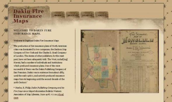
Dakin Fire Insurance Maps WELCOME TO DAKIN FIRE INSURANCE MAPS. Welcome to Digitized Dakin Fire Insurance Maps The production of fire insurance plans of North American cities was dominated by two companies, the Sanborn Map Company of New York and the Charles E. Goad Company of London. The stories of other publishers, for the most part, have not been adequately told. The West, includ[ing] Hawaii, had a number of individuals and institutions which produced insurance plans. One of the more successful of them was the Dakin Publishing Company of San Francisco. Dakin was in existence from about 1885 until the early 1960's, and actively produced insurance maps from its beginning until the second decade of the 20th Century. * * Hoehn, R.
Minnesota Reflections Minnesota Reflections All Collections The American Swedish Institute, a historic museum dedicated to the celebration of Swedish culture, is home to collections on the history of Swedish immigration to the United States, particularly immigration to Minnesota, Swedish-American life and culture and the history and culture of Sweden as it has influenced Swedish America. The... more... The Amherst H. Wilder Foundation is a non-profit health and human services organization founded by a philanthropic Saint Paul businessman, Amherst H. Wilder and his family. For more than 100 years, Wilder has combined direct service, research, and community development to address the needs of the most vulnerable people in greater Saint... more...
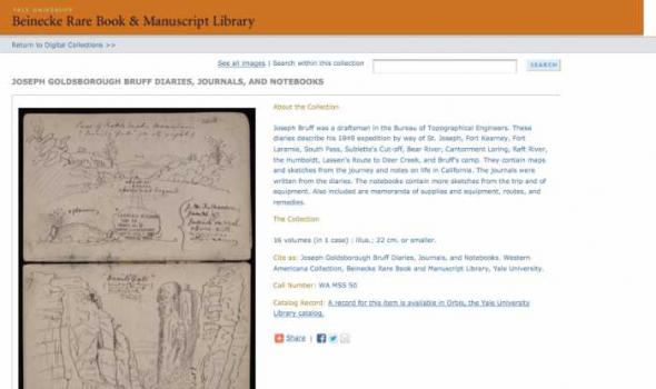
The Collection 16 volumes (in 1 case) : illus.; 22 cm. or smaller. Cite as: Joseph Goldsborough Bruff Diaries, Journals, and Notebooks. Western Americana Collection, Beinecke Rare Book and Manuscript Library, Yale University.
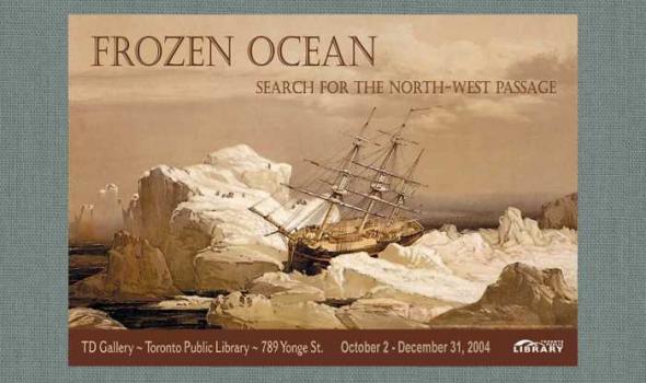
Introduction From the time of Columbus, the American continent was seen by Europeans as a barrier between Europe and the Orient. A passage through it was the prime object of many voyages of exploration. Magellan had sailed around South America in 1520, but the icy northern shores were mysterious and seemed unassailable. The search for a sea route across the top of North America began in the 16th century as a commercial venture sponsored by London merchants. By the 19th century it was obvious that a Northwest Passage would not be a useful seaway, but finding it became an obsession, as did the attainment of the North Pole late in the century.
The Caribbean Documents Collection is comprised of correspondence and original financial and legal documents from the various islands of Antigua, Haiti, Jamaica, St. Kitts, St. Christopher, Trinidad and Tobago from the 16th to the 19th century. The collection consists of individually acquired items such as letters narrating travelers' impressions but also groupings of transactional papers from plantations and slave registers. Selected items from the Caribbean Documents Collection are digitized and available online.
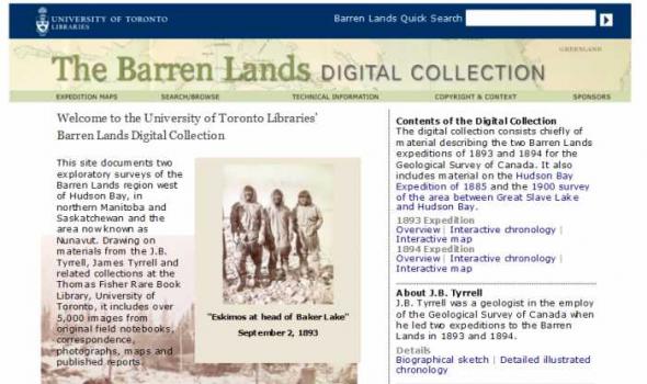
This site documents two exploratory surveys of the Barren Lands region west of Hudson Bay, in northern Manitoba and Saskatchewan and the area now known as Nunavut. Drawing on materials from the J.B. Tyrrell, James Tyrrell and related collections at the Thomas Fisher Rare Book Library, University of Toronto, it includes over 5,000 images from original field notebooks, correspondence, photographs, maps and published reports.
Home View Collection Digitised images from The Bodleian Libraries Special Collections Bodleian Library Search: Bringing Laxton to life A 17th-century survey and map of Laxton, Nottinghamshire.

Alan Dawson February 2007 The Scottish Mountaineering Club (SMC) was formed in March 1889, with the aim to: "encourage mountaineering in Scotland in winter as well as summer; to serve as a bond of union amongst all lovers of mountain climbing; to create facilities for exploring the less known parts of the country; to collect various kinds of information, especially as regards routes, distances, means of access, time occupied in ascents, character of rocks, extent of snow in winter, etc., and in general to promote everything that will conduce to the convenience of those who take a pleasure in mountains and mountain scenery." The printed journal Soon after its formation, the Club began publishing the Scottish Mountaineering Club Journal, following the successful model of the Alpine Journa
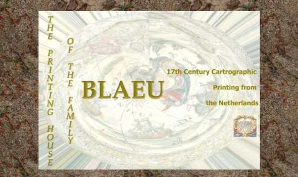
The Printing House of the Family Blaeu: 17th Century Cartographic Printing from the Netherlands During the seventeenth century the people of the seventeen united provinces of the Netherlands experienced a period of tremendous economic prosperity. As a water-logged society with few land-based natural resources of their own, the Dutch developed into a highly efficient maritime culture that feverishly explored the globe to find goods that were in demand on the continental European market. Along with numerous advances in the fields of science, industry, business, and linguistics, the Dutch also became experts at book and cartographic printing.
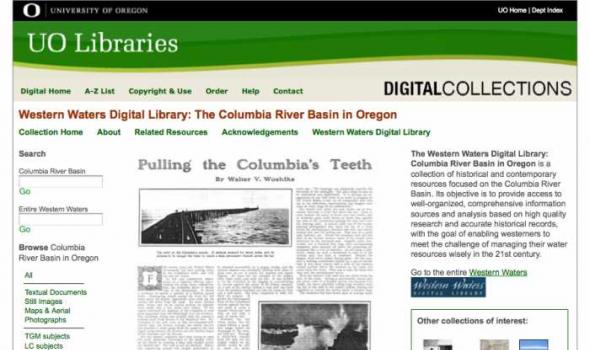
About - Columbia River Basin Project Background The University of Oregon Libraries are participating in a collaborative project to develop a digital collection of print, image, cartographic, and other format materials relating to the waters of the Western United States. The project is partially funded by a grant from the Institute of Museum and Library Services (IMLS) and is administered centrally by the Greater Western Library Alliance (GWLA) of which the UO Libraries are a member. The Western Waters Digital Library (WWDL) is a distributed collection of materials from research institutions in the Western United States of America.
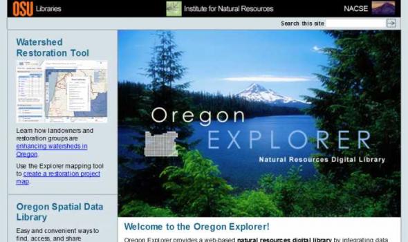
Oregon Explorer is a comprehensive digital library of Oregon's natural resources. This state-of-the-art, Web-based resource uses advanced information technology to access and integrate data from state and federal agencies, local governments, university scientists, citizens, and K-12 educators and students. It supports informed decisions and actions by people concerned with Oregon's natural resources and environment.
Through a series of geographic, data and topic-based Web portals, Oregon Explorer helps users:
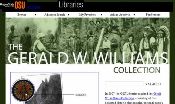
The Gerald W. Williams Collection In 2007 the OSU Libraries acquired the Gerald W. Williams Collection , consisting of the collected historic photographs, personal papers, and research library of Gerald "Jerry" Williams, former national historian for the U.S. Forest Service. Williams, a native Oregonian, spent much of his Forest Service career in the Pacific Northwest, prior to being appointed national historian in 1998. This digital collection includes some of the best imagery from the Williams Collection, including photos of the WWI era Spruce Production Division , logging photos of northwest Oregon taken by John Fletcher Ford , photos of Celilo Falls taken in 1956 by Jack Williams, and photos of depression era Civilian Conservation Corps camps and activities.
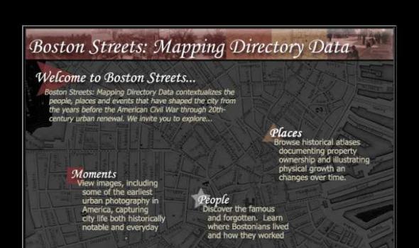
Visit Cowpaths (opens a new window) View all Boston Streets images (Using the Tufts Digital Library) Browse all Boston city atlases (Using the Tufts Digital Library) The Project: Boston Streets: Mapping Directory data was developed by the Digital Collections and Archives, Tufts University, with support from a National Leadership Grant from the Institute of Museum and Library Services . Additional support was provided by Docema, The Bostonian Society , and other anonymous gifts. The Bostonian Society provided more than 3000 images to the project and was also a major partner in developing descriptive cataloging specifications.

Comments to: UMDL Help About the collection This project is comprised of texts which were digitized in two groups. The first group contains four accounts of travel in southeastern Europe, each of which contains a significant portion devoted to Bosnia and Hercegovina. The texts were chosen because they were not copyright restricted, had coverage that fit the above profile, and duplicated holdings in University of Michigan Library's collection, which were either copies or microfilms. The four texts are: Bosnie et Herzegovin: Souvenirs de Voyage pendant l'Insurrection, by Charles Yriarte, published in Paris by E. Plon et Cie, 1876; Dalmatia: the Land Where East Meets West, by Maude M.
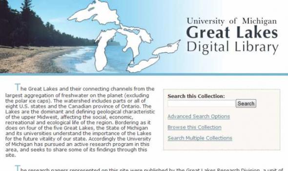
The Great Lakes and their connecting channels from the largest aggregation of freshwater on the planet (excluding the polar ice caps). The watershed includes parts or all of eight U.S. states and the Canadian province of Ontario. The Lakes are the dominant and defining geological characteristic of the upper Midwest, affecting the social, economic, recreational and ecological life of the region. Bordering as it does on four of the five Great Lakes, the State of Michigan and its universities understand the importance of the Lakes for the future vitality of our state. Accordingly the University of Michigan has pursued an active research program in this area, and seeks to share some of its findings through this site.

aking of America (MOA) represents a major collaborative endeavor to preserve and make accessible through digital technology a significant body of primary sources related to development of the U.S. infrastructure. With funding from the Andrew W. Mellon Foundation , MOA seeks to involve research institutions and national consortia to develop common protocols and consensus for the selection, conversion, storage, retrieval, and use of digitized materials on a large, distributed scale. The initial phase of the project, begun in the fall of 1995, focused on developing a collaborative effort between the University of Michigan and Cornell University .
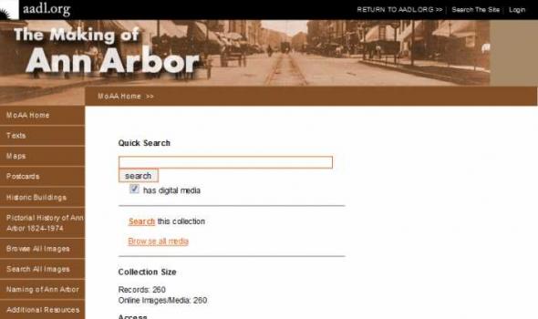
Introduction The Ann Arbor District Library, the University of Michigan University Library and the U-M’s Bentley Historical Library have entered into a partnership to create The Making of Ann Arbor, an online, public website on the history and development of the Ann Arbor community. MOAA is an illustrated narrative about Ann Arbor from its pioneer days when it was part of Michigan Territory to the early twentieth century. The project draws upon the three libraries’ resources and the expertise of all three partners to build a website of interest to the citizens of Ann Arbor. In addition to the illustrated narrative history of our city, the website has a searchable image database, including many photographs and other visual images not used in the narrative.
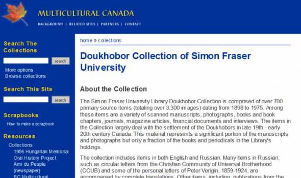
Doukhobor Collection of Simon Fraser University About the Collection The Simon Fraser University Library Doukhobor Collection is comprised of over 700 primary source items (totaling over 3,300 images) dating from 1898 to 1975. Among these items are a variety of scanned manuscripts, photographs, books and book chapters, journals, magazine articles, financial documents and interviews. The items in the Collection largely deal with the settlement of the Doukhobors in late 19th - early 20th century Canada. This material represents a significant portion of the manuscripts and photographs but only a fraction of the books and periodicals in the Library's holdings. The collection includes items in both English and Russian.

The Kirk Papers is a collection of photographs and papers belonging to East Africa pioneer Sir John Kirk. It was acquired for the National Library of Scotland in 1998/1999 with the help of a grant of £55,000 from the Heritage Lottery Fund.
Though not as well-known as his friend and fellow-explorer David Livingstone, Kirk was a trail-blazer of empire in East Africa and a man of eminence in his day. Born in Barry, Angus, in 1832, Kirk qualified in medicine at Edinburgh University and then volunteered for medical service in the Crimea. An accomplished botanist, zoologist and diplomat, he was also a talented photographer. This is evident from the collection of over 250 photographs, many of them stunning.

Mapmaking and printing from 1820 to 2002
The Bartholomew Archive is the remarkable record of the Edinburgh-based firm of map engravers, printers and publishers, John Bartholomew & Son Ltd. It is one of the most extensive cartographic archives available for research in a public institution.
Members of the Bartholomew family were engaged in map-making from the first known map engraving work of George Bartholomew in 1825. John Bartholomew junior started printing operations before 1870. For more than a century afterwards the Bartholomew firm specialised in high-quality map production.
Importance of the archive
The Bartholomew Archive enables us to:
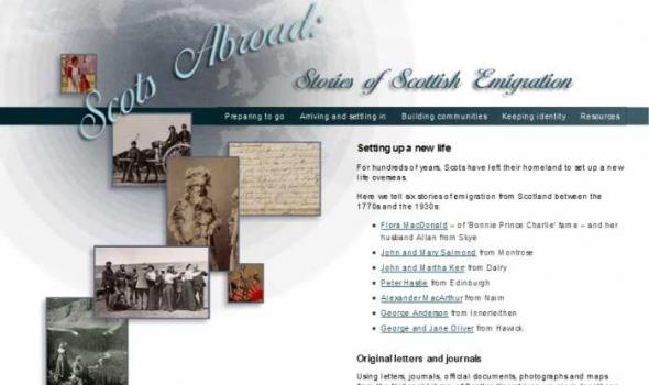
For hundreds of years, Scots have left their homeland to set up a new life overseas.
Here we tell six stories of emigration from Scotland between the 1770s and the 1930s:
* Flora MacDonald – of 'Bonnie Prince Charlie' fame – and her husband Allan from Skye
* John and Mary Salmond from Montrose
* John and Martha Kerr from Dalry
* Peter Hastie from Edinburgh
* Alexander MacArthur from Nairn
* George Anderson from Innerleithen
* George and Jane Oliver from Hawick.
Original letters and journals
Using letters, journals, official documents, photographs and maps from the National Library of Scotland's archives, we piece together a picture of Scots abroad.