Category: Map
Results

Pluralism and Adaptation in the Islamic Practice of Senegal and Ghana is a digital library of multi-media resources that demonstrate how innovative Africans have been in the history of Islam and Islamic practice and how they continue to live and experience Islam.
Four digital galleries – two from Senegal and two from Ghana – emphasize pluralism - the coexistence and indeed the mutual respect among people of different religious persuasions - and adaptation – situations where Islam takes root in a particular society and culture that changes over time.
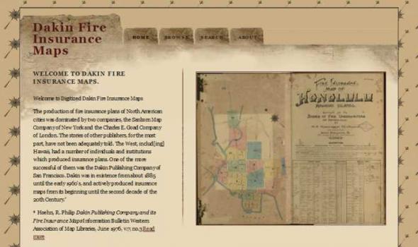
Dakin Fire Insurance Maps WELCOME TO DAKIN FIRE INSURANCE MAPS. Welcome to Digitized Dakin Fire Insurance Maps The production of fire insurance plans of North American cities was dominated by two companies, the Sanborn Map Company of New York and the Charles E. Goad Company of London. The stories of other publishers, for the most part, have not been adequately told. The West, includ[ing] Hawaii, had a number of individuals and institutions which produced insurance plans. One of the more successful of them was the Dakin Publishing Company of San Francisco. Dakin was in existence from about 1885 until the early 1960's, and actively produced insurance maps from its beginning until the second decade of the 20th Century. * * Hoehn, R.
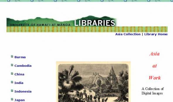
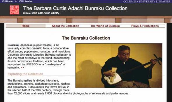
Within the vast body of literature on Asia held by the Asia Collection at the University of Hawaii are fascinating illustrations of the people of Asia and the environment in which they live. These images are a visual record of the lives of the people and their surroundings. The sheer number of illustrations makes digitizing all of them an impossible task, so we have decided to concentrate on the theme "Asia at Work." Work is the activity by which so many of us identify ourselves. The tools we use, the human interaction and cooperation that occurs in the course of its performance, and the skills we employ all, to a great extent, help define who we are. Images are arranged by country.
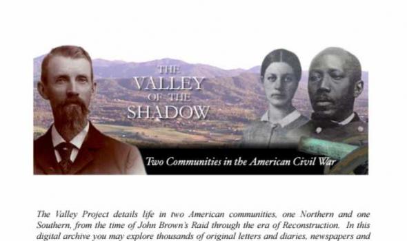
The Valley Project details life in two American communities, one Northern and one Southern, from the time of John Brown's Raid through the era of reconstruction. In this digital archive you may explore thousands of original letters and diaries, newspapers and speeches, census and church records, left by men and women in Augusta County, Virginia, and Franklin County, Pennsylvania. Giving voice to hundreds of individual people, the Valley Project tells forgotten stories of life during the era of the civil war.
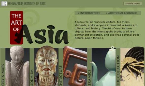
The Institute's collection of Asian art represents seventeen Asian cultures spanning over 5,000 years. The Department of Asian Arts has benefited greatly from generous gifts from knowledgeable collectors. Augustus L. Searle, Alfred F. Pillsbury, Richard P. Gale, Louis W. Hill, Jr., and Ruth and Bruce Dayton have donated specialized collections of international reputation, including ancient Chinese bronzes, ancient and post-Sung jade, Chinese monochrome ceramics, Ukiyo-e paintings, Japanese prints, and classical Chinese furniture. In addition, highly regarded specialized collections of Ch'ing dynasty silk textiles, Miao textiles, and surimono prints have been built over the years. The curatorial department's goal is to provide the public with a broad overview of Asian art.
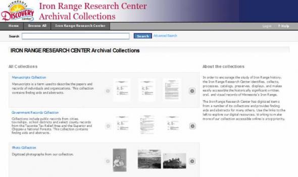
IRON RANGE RESEARCH CENTER Archival Collections All Collections About the collections In order to encourage the study of Iron Range history, the Iron Range Research Center identifies, collects, processes, catalogs, preserves, displays, and makes easily accessible the historically significant written, oral, and visual records of Minnesota’s Iron Range. The Iron Range Research Center has digitized items from a number of its collections and provides finding aids and abstracts for many others. Use the links to the left to explore our digital resources. Working to make more of our collection accessible online is a top priority.

The College of Saint Benedict Archives collects the historical records of the College, 1961 to present. Vivarium includes photos, maps, and scans of publications and documents, with more to come. In addition to materials found here, see also the CSB Digital Archives Page Search for Text: For a general search of the collection by keyword, simply type a word or words in the box below. Do not add Boolean operators between words; the "and" is automatically used by the search engine. Search by Exact Phrase: Use this search box for searching the transcripts for names, titles, and other exact phrases. ...Or Browse Some of Its Parts: Alumnae publications : The Handshake , CSB Alumnae Magazine Feb.
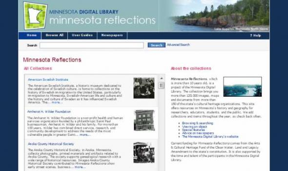
Minnesota Reflections Minnesota Reflections All Collections The American Swedish Institute, a historic museum dedicated to the celebration of Swedish culture, is home to collections on the history of Swedish immigration to the United States, particularly immigration to Minnesota, Swedish-American life and culture and the history and culture of Sweden as it has influenced Swedish America. The... more... The Amherst H. Wilder Foundation is a non-profit health and human services organization founded by a philanthropic Saint Paul businessman, Amherst H. Wilder and his family. For more than 100 years, Wilder has combined direct service, research, and community development to address the needs of the most vulnerable people in greater Saint... more...

About New York Heritage is a project of the NY 3Rs Association, Inc. New York Heritage is a project of the NY 3Rs Association, Inc. New York Heritage is a research portal for students, educators, historians, genealogists, and anyone else who is interested in learning more about the people, places and institutions of New York State. The site provides free access to more than 170 distinct digital collections, totalling hundreds of thousands of items. The collections in New York Heritage represent a broad range of historical, scholarly, and cultural materials held in libraries, museums, and archives throughout the state. Collection items include photographs, letters, diaries, directories, maps, newspapers, books, and more.
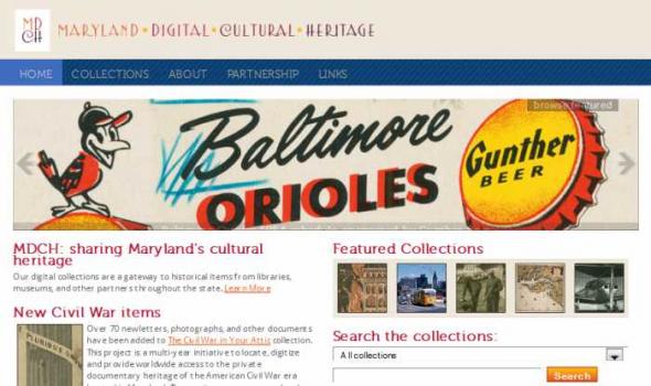
Maryland Digital Cultural Heritage About Maryland Digital Cultural Heritage (MDCH) is a collaborative, statewide digitization program headquartered at the Enoch Pratt Free Library/State Library Resource Center in Baltimore. Our program partners with Maryland libraries, archives, historical societies, museums, and other institutions to digitize and provide free online access to materials relating to the state's history and culture. Since the program began in 2002, MDCH's collections have grown to include over 5,000 items, such as maps, manuscripts, photographs, artwork, books, and other media. Tips for using our digital collections:

About the Denver Public Library's Western History and Genealogy Digital Collections The Digital Collections had their origins in the Photo Digitization Project which was started in the early 1990’s by Augie Mastrogiuseppe, the Library’s Curator of Photographs at the time. The project’s goal was to improve access to the Western History photograph collection and help preserve the original items by creating digital copies. Over the years, the project was funded by grants from organizations including the Boettcher Foundation, the National Endowment for the Humanities, and the Colorado Historic Fund.

Connecticut State Library Digital Collections All Collections In 1934 Connecticut became the first state to complete a statewide aerial survey. The State Library has several aerial surveys of the entire state , along with some partial surveys, and has put the 1934, 1938 (partial survey), and 1965 surveys online. Hartford street scenes just after the great snow storm of March 12 th and 13 th , 1888. Views of military life and training at the air base, the Sixth War Loan drive, redeployment, officers and medal presentations to families of servicemen.

About Us Read more Founded in 1915, the Cornell Lab is a nonprofit organization supported by 45,000 friends and members . Our vibrant community includes 200,000 citizen-science participants from all walks of life and 5 million bird enthusiasts of all ages who connect with us online at All About Birds. As a proud unit of Cornell University we have ten faculty on staff and access to world-class resources. As a nonprofit environmental organization, however, we depend on members, donors, research, and our other programs for 99 percent of our operating budget. Your support will result in direct impacts and improvements for conservation science. We invite you to join us as a member of the Lab .
Get to know the people behind the names. Here are some details on specific historical records: U.S. Census Records Learn if ancestors owned homes or were born in other countries. You could get details about their ages, places of birth, ethnic backgrounds, marriages, children, occupations — even the value of their personal estates. U.S. Military Records Find your family’s military heroes from the Revolution- ary War through Vietnam. See enlistment dates, learn about famous battles, locate veteran gravesites and discover personal details like a physical description, signature and more. U.S. Immigration Records Discover your ancestral homeland and recreate family journeys across oceans.
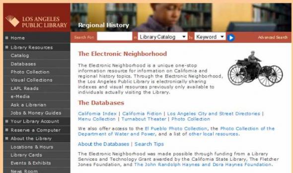
Los Angeles Public Library My Library Account Use the new enhanced My Library Account (which offers an ezlogin option) to renew books, check hold status and suspend holds, save searches, save lists and even provide others with an rss feed of your saved lists . You can also use the traditional catalog's account feature, which also allows on-line fine payments. You are here The Electronic Neighborhood The Electronic Neighborhood is a unique one-stop information resource for information on California and regional history topics.
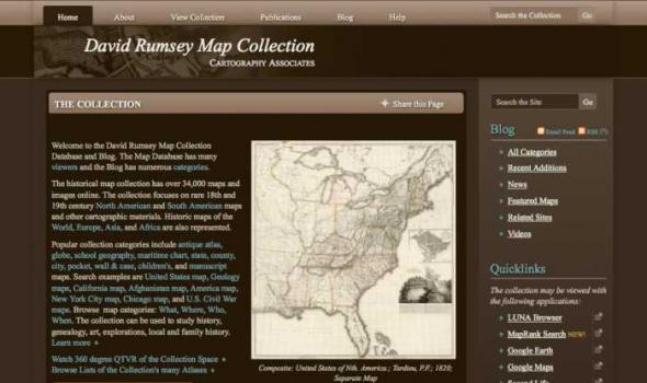
Welcome to the David Rumsey Map Collection Database and Blog. The Map Database has many viewers and the Blog has numerous categories . The historical map collection has over 34,000 maps and images online. The collection focuses on rare 18th and 19th century North American and South American maps and other cartographic materials. Historic maps of the World, Europe, Asia, and Africa are also represented.

Welcome to the Digital Library for Earth System Education A free service Thank you for your interest in DLESE. This overview is intended to provide you with very general information about DLESE and the library's organization. As always, we welcome your comments and suggestions. Please direct them to support@dlese.org . Browse the Library resources and collections What is DLESE? DLESE is the Digital Library for Earth System Education, a free resource that supports teaching and learning about the Earth system. DLESE's development was funded by the National Science Foundation and continues to be built by a distributed community of educators, students, and scientists to support Earth system education at all levels.
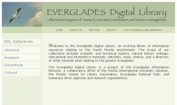
About the Everglades Digital Library The Everglades Digital Library (EDL) is a service of the Digital Collections Center at Florida International University Libraries in Miami, Florida. The EDL was established in 1996 to support research, education, decision making, and information resource management within the greater Everglades community. Since that time, the project has grown to serve patrons from around the world with Web-accessible digital collections, the online reference service 'Ask An Everglades Librarian', and other online information services.
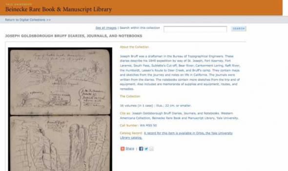
The Collection 16 volumes (in 1 case) : illus.; 22 cm. or smaller. Cite as: Joseph Goldsborough Bruff Diaries, Journals, and Notebooks. Western Americana Collection, Beinecke Rare Book and Manuscript Library, Yale University.

Search through one hundred maps, drawn from the Beinecke's vast collection of American and European cartography, depicting early representations of New England and North America. The Collection 100 maps, primarily woodcuts and printed engravings, from the Beinecke Library's Western Americana and General collections. Yale Collection of Western Americana, Beinecke Rare Book and Manuscript Library, Yale University
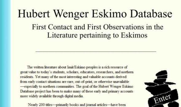
The written literature about Inuit/Eskimo peoples is a rich resource of great value to today’s students, scholars, educators, researchers, and northern residents. Yet many of the most interesting and valuable accounts derived from early contact situations are rare, out-of-print, or otherwise unavailable—especially to northern communities. The goal of the Hubert Wenger Eskimo Database project has been to make many of these early and primary accounts more widely available through digital media. Nearly 200 titles—primarily books and journal articles—have been included in the database and are uniformly searchable with powerful text-retrieval software.