Category: Geography & Maps, United States, New York
Results
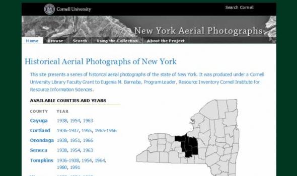
About the Project The Cornell Institute for Resource Information Sciences (IRIS) maintains a large and comprehensive collection of aerial photographs for New York State dating from 1936 through 1995. The archive numbers some 50,000 images that cover 48 counties, many counties of which have at least three years of historic sequence. The photographs are primarily black and white direct contact prints, and in hard copy form they measure from 7” x 9” to 9” x 9” in size; scales vary. Historic aerial photographs are valuable resources for landscape and land use analysis, assessment of environmental impacts, development projects and education.

This collection consists of digitally reproduced images of paper maps from the Cornell University Library's Map Collection. Included are maps from locations around the world, ranging in date from the nineteenth century to the present. While this collection will continue to grow, it will still only represent a fraction of the 300,000 maps, atlases, and other forms of geospatial data that make up the Map Collection. Located in Olin Library, the Map Collection is open to the public.
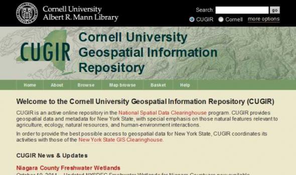
CUGIR: Cornell University Geospatial Information Repository About the Cornell University Geospatial Information Repository (CUGIR) CUGIR is an active online data and metadata repository and a participating node in the National Spatial Data Infrastructure program. CUGIR provides open and free access to geospatial data and metadata for New York State, with special emphasis on natural features relevant to agriculture, ecology, natural resources, and human-environment interactions. Subjects such as landforms and topography, soils, hydrology, environmental hazards, agricultural activities, wildlife and natural resource management are appropriate for inclusion in the CUGIR catalog.
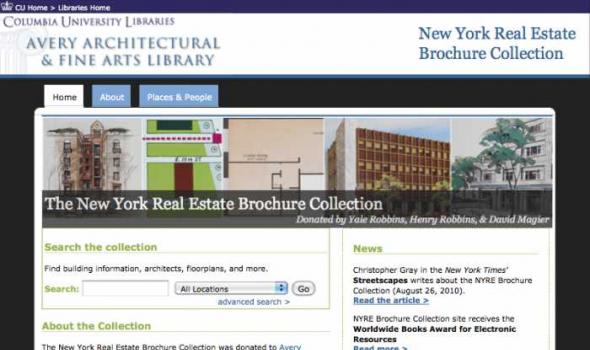
The New York Real Estate Brochure Collection, housed in Avery Architectural & Fine Arts Library's Classics Department , consists of over 9,200 advertising brochures, floor plans, price lists, and related materials that document residential and commercial real estate development in the five boroughs of New York and outlying vicinities from the 1920s to the 1970s. The majority of the collection is offerings for apartment and other residential spaces. This collection of ephemeral advertising material constitutes an invaluable resource for researching New York City architecture. The brochures and related materials provide architects' and agents' names, illustrate interior and exterior views of buildings, display typical floor plans, and list prominent features of the buildings.