Category: Geography & Maps, United States
Results
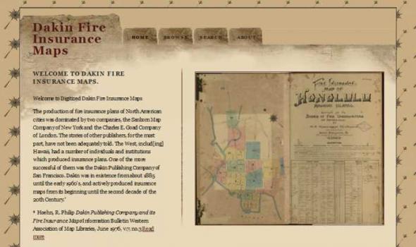
Dakin Fire Insurance Maps WELCOME TO DAKIN FIRE INSURANCE MAPS. Welcome to Digitized Dakin Fire Insurance Maps The production of fire insurance plans of North American cities was dominated by two companies, the Sanborn Map Company of New York and the Charles E. Goad Company of London. The stories of other publishers, for the most part, have not been adequately told. The West, includ[ing] Hawaii, had a number of individuals and institutions which produced insurance plans. One of the more successful of them was the Dakin Publishing Company of San Francisco. Dakin was in existence from about 1885 until the early 1960's, and actively produced insurance maps from its beginning until the second decade of the 20th Century. * * Hoehn, R.
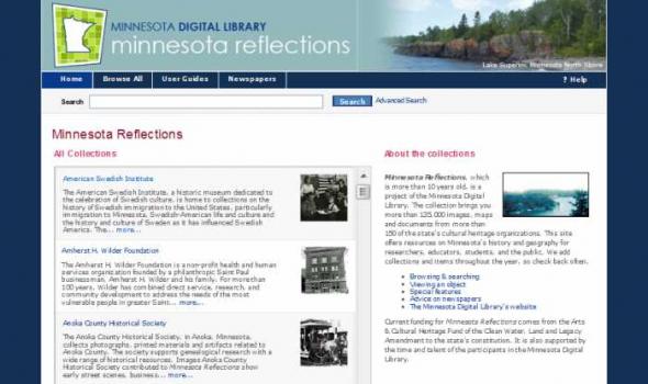
Minnesota Reflections Minnesota Reflections All Collections The American Swedish Institute, a historic museum dedicated to the celebration of Swedish culture, is home to collections on the history of Swedish immigration to the United States, particularly immigration to Minnesota, Swedish-American life and culture and the history and culture of Sweden as it has influenced Swedish America. The... more... The Amherst H. Wilder Foundation is a non-profit health and human services organization founded by a philanthropic Saint Paul businessman, Amherst H. Wilder and his family. For more than 100 years, Wilder has combined direct service, research, and community development to address the needs of the most vulnerable people in greater Saint... more...
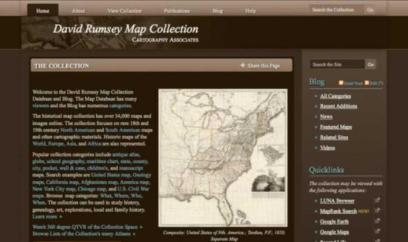
Welcome to the David Rumsey Map Collection Database and Blog. The Map Database has many viewers and the Blog has numerous categories . The historical map collection has over 34,000 maps and images online. The collection focuses on rare 18th and 19th century North American and South American maps and other cartographic materials. Historic maps of the World, Europe, Asia, and Africa are also represented.

, which described the second Powell expedition, in 1908. He died in New York City on January 29, 1935. Over 800 digital images shown selected from nearly 900 photographic prints, relief halftones, postcards, negatives, tintypes and pen and ink drawings in Dellenbaugh’s personal collection. Depicting the Colorado River region and other areas of the West, these photographs include works by E. O. Beaman, James Fennemore, and John K. Hillers, photographers on the 1871 Powell expedition, as well as halftone prints of their images, apparently created for inclusion in Dellenbaugh's books. Photographs by Dellenbaugh and other amateur photographers are accompanied by images from professional photographers William Henry Jackson and the Kolb Brothers.
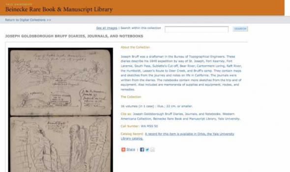
The Collection 16 volumes (in 1 case) : illus.; 22 cm. or smaller. Cite as: Joseph Goldsborough Bruff Diaries, Journals, and Notebooks. Western Americana Collection, Beinecke Rare Book and Manuscript Library, Yale University.

Search through one hundred maps, drawn from the Beinecke's vast collection of American and European cartography, depicting early representations of New England and North America. The Collection 100 maps, primarily woodcuts and printed engravings, from the Beinecke Library's Western Americana and General collections. Yale Collection of Western Americana, Beinecke Rare Book and Manuscript Library, Yale University

Collections from the University of Alaska: Maps. The Rare Map Collection at the Rasmuson Library contains thousands of maps that document the history of Alaska, from 16th century speculative cartography to the gold rush era. This selection of maps provides basic coverage of the mapping of Alaska, from the early voyages of discovery through the sale of Russian America to the United States and the gold rush. The maps depict the growth of geographic knowledge that resulted from the great expeditions of the eighteenth and early nineteenth centuries,and also illustrate the carto-controversies that arose from various imagined geographies and fictitious voyages of discovery. A new map of the northeast coast of Asia, and the northwest coast of America, with the late Russian discoveries.

I nteractive N umeric & S patial I nformation D ata E ngine Non-georeferenced Scanned Historic Air Photos for Idaho The Historic Air Photo online mapping application provides a way to geospatially locate a selected set of non-georeferenced scanned historic air photos for Idaho contained in the Idaho aerial views database. It allows users to determine the flight year, the University of Idaho CD-ROM call number, and the image name for every fifth image along a given project flight line.
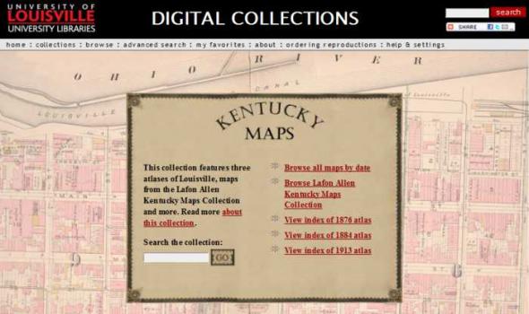
DIGITAL COLLECTIONS by Tom Owen Historic maps attract inquiry on several levels. For some, they are works of art with color coding and linear preciseness. Early maps also reveal the limits of the known that the cartographer faced and the terrible limits on the information gathering techniques that were available to them. Indeed, maps are always a study in "looking through a glass darkly." Historic maps are a delightful testimony to the archetypal human need to know. As we look upon this collection of Kentucky maps we marvel at the intense curiosity about a single place - sometimes the tiniest place - that the map maker chose to record.

DIGITAL COLLECTIONS About the Collection This collection contains 210 selected digital images and 3 digital videos from an archived community collection devoted to documenting one of the worst floods in Louisville's history. On the morning of August 4, 2009, record-breaking rains fell in central Louisville and surrounding counties between 7 am and 10 am EDT, with reported hourly rainfall rates as high as 8.83 inches. The Louisville Free Public Library's main branch and the University of Louisville's Belknap and Health Sciences campuses were particularly hard hit by the deluge.
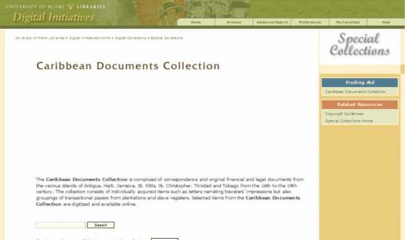
The Caribbean Documents Collection is comprised of correspondence and original financial and legal documents from the various islands of Antigua, Haiti, Jamaica, St. Kitts, St. Christopher, Trinidad and Tobago from the 16th to the 19th century. The collection consists of individually acquired items such as letters narrating travelers' impressions but also groupings of transactional papers from plantations and slave registers. Selected items from the Caribbean Documents Collection are digitized and available online.
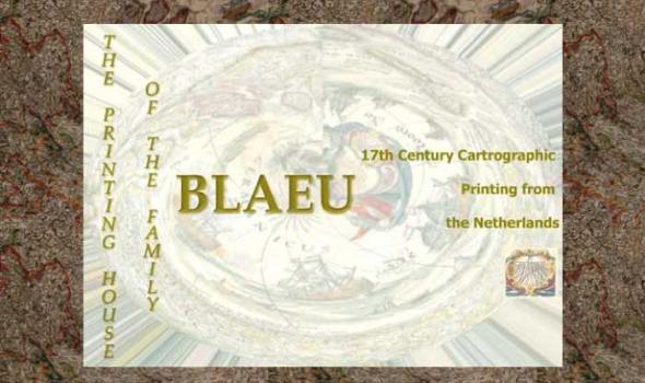
The Printing House of the Family Blaeu: 17th Century Cartographic Printing from the Netherlands During the seventeenth century the people of the seventeen united provinces of the Netherlands experienced a period of tremendous economic prosperity. As a water-logged society with few land-based natural resources of their own, the Dutch developed into a highly efficient maritime culture that feverishly explored the globe to find goods that were in demand on the continental European market. Along with numerous advances in the fields of science, industry, business, and linguistics, the Dutch also became experts at book and cartographic printing.
About the Project The Cornell Institute for Resource Information Sciences (IRIS) maintains a large and comprehensive collection of aerial photographs for New York State dating from 1936 through 1995. The archive numbers some 50,000 images that cover 48 counties, many counties of which have at least three years of historic sequence. The photographs are primarily black and white direct contact prints, and in hard copy form they measure from 7” x 9” to 9” x 9” in size; scales vary. Historic aerial photographs are valuable resources for landscape and land use analysis, assessment of environmental impacts, development projects and education.

This collection consists of digitally reproduced images of paper maps from the Cornell University Library's Map Collection. Included are maps from locations around the world, ranging in date from the nineteenth century to the present. While this collection will continue to grow, it will still only represent a fraction of the 300,000 maps, atlases, and other forms of geospatial data that make up the Map Collection. Located in Olin Library, the Map Collection is open to the public.
CUGIR: Cornell University Geospatial Information Repository About the Cornell University Geospatial Information Repository (CUGIR) CUGIR is an active online data and metadata repository and a participating node in the National Spatial Data Infrastructure program. CUGIR provides open and free access to geospatial data and metadata for New York State, with special emphasis on natural features relevant to agriculture, ecology, natural resources, and human-environment interactions. Subjects such as landforms and topography, soils, hydrology, environmental hazards, agricultural activities, wildlife and natural resource management are appropriate for inclusion in the CUGIR catalog.

browse through the collection without a specific search search multiple fields at one time and limit search results view collection items you have saved to your own favorites page ask an archivist about this site or any aspect of OSU archives Click on the highlighted areas.
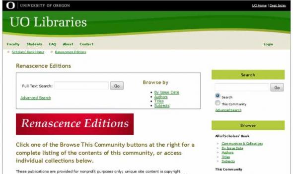
About - Columbia River Basin Project Background The University of Oregon Libraries are participating in a collaborative project to develop a digital collection of print, image, cartographic, and other format materials relating to the waters of the Western United States. The project is partially funded by a grant from the Institute of Museum and Library Services (IMLS) and is administered centrally by the Greater Western Library Alliance (GWLA) of which the UO Libraries are a member. The Western Waters Digital Library (WWDL) is a distributed collection of materials from research institutions in the Western United States of America.
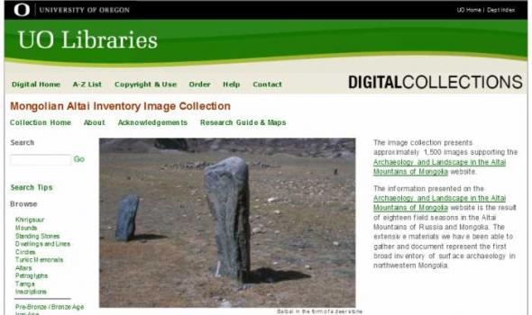
About - Mongolian Altai Image Collection The image collection presents approximately 1,500 images supporting the Archaeology and Landscape in the Altai Mountains of Mongolia website. The information presented on the Archaeology and Landscape in the Altai Mountains of Mongolia website is the result of eighteen field seasons in the Altai Mountains of Russia and Mongolia. The extensive materials we have been able to gather and document represent the first broad inventory of surface archaeology in northwestern Mongolia.
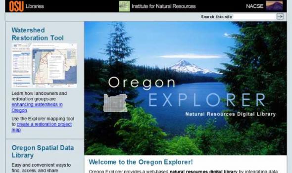
Oregon Explorer is a comprehensive digital library of Oregon's natural resources. This state-of-the-art, Web-based resource uses advanced information technology to access and integrate data from state and federal agencies, local governments, university scientists, citizens, and K-12 educators and students. It supports informed decisions and actions by people concerned with Oregon's natural resources and environment.
Through a series of geographic, data and topic-based Web portals, Oregon Explorer helps users:

About Oregon Maps The University of Oregon Libraries and the Oregon State University Libraries present the Oregon Maps online collection in celebration of Oregon's sesquecentennial. Whether traveling city streets and country roads, or observing forests and farms from an airplane window, the patterns of the landscape have come to resemble the maps we draw. As European settlers populated Oregon, Western traditions of cartography came as well. One hundred and fifty years later, the Jeffersonian survey grid is imprinted in everyone's mind as most of Oregon's roads and property boundaries have been drawn on top of our Public Land Survey System. Maps are not simple representations of the world.
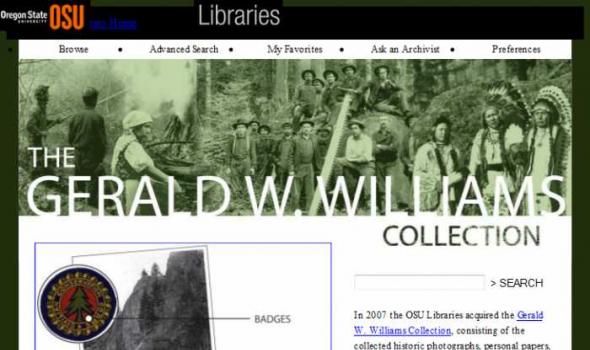
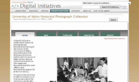
The Gerald W. Williams Collection In 2007 the OSU Libraries acquired the Gerald W. Williams Collection , consisting of the collected historic photographs, personal papers, and research library of Gerald "Jerry" Williams, former national historian for the U.S. Forest Service. Williams, a native Oregonian, spent much of his Forest Service career in the Pacific Northwest, prior to being appointed national historian in 1998. This digital collection includes some of the best imagery from the Williams Collection, including photos of the WWI era Spruce Production Division , logging photos of northwest Oregon taken by John Fletcher Ford , photos of Celilo Falls taken in 1956 by Jack Williams, and photos of depression era Civilian Conservation Corps camps and activities.