Category
Results
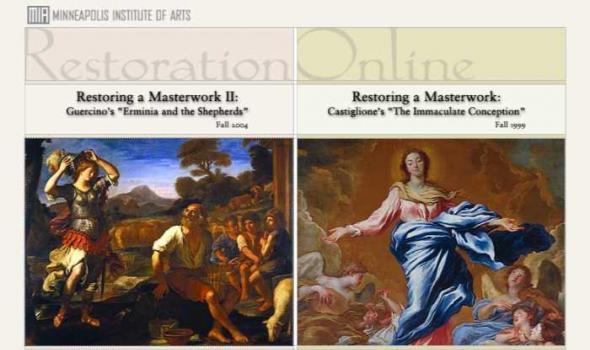
Throughout the fall of 2004, paintings conservators Joan Gorman and David Marquis of the Midwest Art Conservation Center conducted a major conservation treatment of Guercino's Erminia and the Shepherds during public viewing hours. In 1999, the exhibition "Restoring a Masterwork" followed the process of conserving Giovanni Benedetto Castiglione's The Immaculate Conception with Saints Francis of Assisi and Anthony of Padua .
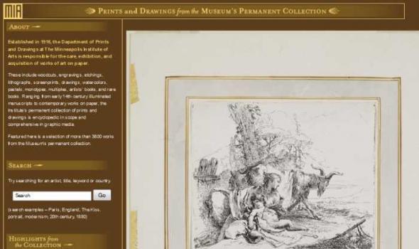
Established in 1916, the Department of Prints and Drawings at The Minneapolis Institute of Arts is responsible for the care, exhibition, and acquisition of works of art on paper. These include woodcuts, engravings, etchings, lithographs, screenprints, drawings, watercolors, pastels, monotypes, multiples, artists' books, and rare books. Ranging from early 14th-century illuminated manuscripts to contemporary works on paper, the Institute's permanent collection of prints and drawings is encyclopedic in scope and comprehensive in graphic media. Featured here is a selection of more than 3800 works from the Museum's permanent collection. Try searching for an artist, title, keyword or country.

The Minneapolis Institute of Arts' Department of Photographs includes fine historic and contemporary works that cover the history of the medium from 1839 to the present.
Featured here is a selection of more than 5200 photographs from the Museum's permanent collection, representing the work of more than 400 photographers.
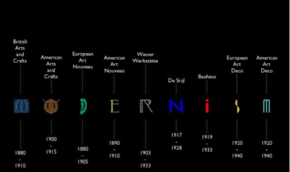
The term Modernism commonly applies to those forward-looking architects, designers and artisans who, from the 1880's on, forged a new and diverse vocabulary principally to escape the Historicism, the tyranny of previous historical styles. The foundation of this online project is a group of over 250 objects representing nine Modernist movements.
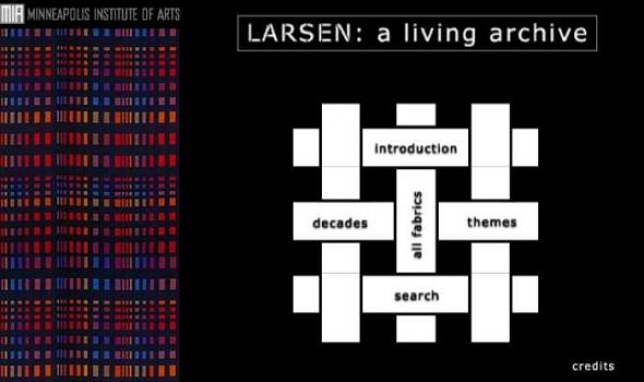
the archive The archive of the Jack Lenor Larsen textile company reveals time and again that the driving force behind this influential company has always been the principal that art need not be separated into high (or fine) art and low art (or craft). The Larsen Design Studio created modern, artistic fabrics for interior use, yet their innovations with handwovens, batiks and fabrics in scale with modern architecture have changed the industry. Artistic and technical explorations are the cornerstones that have kept the company on the front edge of the market for half a century. the web site Larsen: A Living Archive was created in conjunction with the exhibition Jack Lenor Larsen: The Company and The Cloth at The Minneapolis Institute of Arts.

Eadweard Muybridge (1830–1904) wished to catalogue every aspect of human and animal locomotion with his camera. He photographed hundreds of subjects engaged in actions both mundane and arcane: nude figures walking and lifting children, athletes boxing and fencing, and animals hurdling, kicking, or slowly ambling along. He was the first photographer to visually dissect these activities, creating images that delighted and mystified the public in the late 19th century.

The Art of Daily Life There is no equivalent in the many Native American languages for the word art . Yet the objects here suggest that Native Americans are a highly spiritual people who create objects of extraordinary beauty. In Native American thought there is also no distinction between what is beautiful or functional, and what is sacred or secular. Design goes far beyond concerns of function, and beauty is much more than simple appearances. For many native peoples, beauty arises from living in harmony with the order of the universe.The concerns and aspirations of a vital contemporary American Indian population changes as the world changes.
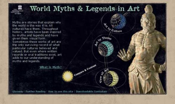
Myths are stories that explain why the world is the way it is. All cultures have them. Throughout history, artists have been inspired by myths and legends and have given them visual form. Sometimes these works of art are the only surviving record of what particular cultures believed and valued. But even where written records or oral traditions exist, art adds to our understanding of myths and legends.
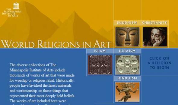
The diverse collections of The Minneapolis Institute of Arts include thousands of works of art that were made for worship or religious ritual. Historically, people have lavished the finest materials and workmanship on those things that represented their most deeply held beliefs. The works of art included here were selected because they illustrate the main theological concepts of the world's major religions. The texts attempt to provide concise overviews and are intended to serve as comparative teaching resources. Each entry was reviewed by a knowledgeable practitioner and/or ordained clergy of that faith.
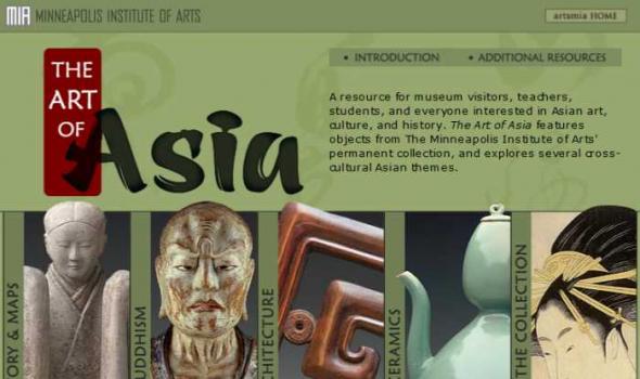
The Institute's collection of Asian art represents seventeen Asian cultures spanning over 5,000 years. The Department of Asian Arts has benefited greatly from generous gifts from knowledgeable collectors. Augustus L. Searle, Alfred F. Pillsbury, Richard P. Gale, Louis W. Hill, Jr., and Ruth and Bruce Dayton have donated specialized collections of international reputation, including ancient Chinese bronzes, ancient and post-Sung jade, Chinese monochrome ceramics, Ukiyo-e paintings, Japanese prints, and classical Chinese furniture. In addition, highly regarded specialized collections of Ch'ing dynasty silk textiles, Miao textiles, and surimono prints have been built over the years. The curatorial department's goal is to provide the public with a broad overview of Asian art.
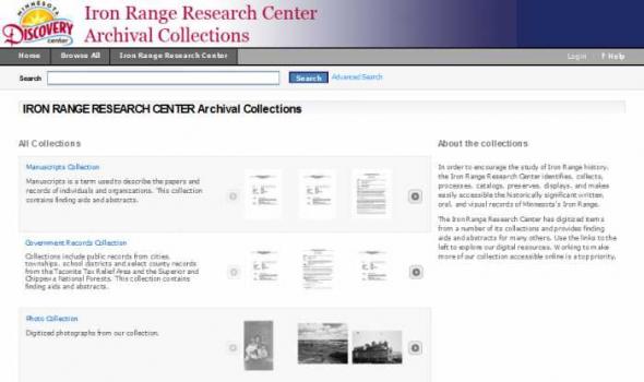
IRON RANGE RESEARCH CENTER Archival Collections All Collections About the collections In order to encourage the study of Iron Range history, the Iron Range Research Center identifies, collects, processes, catalogs, preserves, displays, and makes easily accessible the historically significant written, oral, and visual records of Minnesota’s Iron Range. The Iron Range Research Center has digitized items from a number of its collections and provides finding aids and abstracts for many others. Use the links to the left to explore our digital resources. Working to make more of our collection accessible online is a top priority.
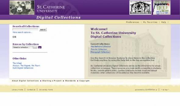
Welcome! To St. Catherine University Digital Collections Use the Search or Browse features to view items in the collection Get help anytime by using the help link in the top navigation bar St. Catherine University Digital Collections serves as the online home for unique collections on campus. These resources are made readily accessible to students, faculty, and the general public. Current collections include visual and textual materials; other collections will be added as they become available.

The College of Saint Benedict Archives collects the historical records of the College, 1961 to present. Vivarium includes photos, maps, and scans of publications and documents, with more to come. In addition to materials found here, see also the CSB Digital Archives Page Search for Text: For a general search of the collection by keyword, simply type a word or words in the box below. Do not add Boolean operators between words; the "and" is automatically used by the search engine. Search by Exact Phrase: Use this search box for searching the transcripts for names, titles, and other exact phrases. ...Or Browse Some of Its Parts: Alumnae publications : The Handshake , CSB Alumnae Magazine Feb.
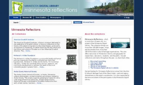
Minnesota Reflections Minnesota Reflections All Collections The American Swedish Institute, a historic museum dedicated to the celebration of Swedish culture, is home to collections on the history of Swedish immigration to the United States, particularly immigration to Minnesota, Swedish-American life and culture and the history and culture of Sweden as it has influenced Swedish America. The... more... The Amherst H. Wilder Foundation is a non-profit health and human services organization founded by a philanthropic Saint Paul businessman, Amherst H. Wilder and his family. For more than 100 years, Wilder has combined direct service, research, and community development to address the needs of the most vulnerable people in greater Saint... more...
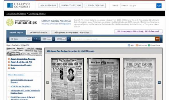
Chronicling America: Historic American Newspapers Search America's historic newspapers pages from 1836-1922 or use the U.S. Newspaper Directory to find information about American newspapers published between 1690-present. Chronicling America is sponsored jointly by the National Endowment for the Humanities external link and the Library of Congress. Learn more Pages Available: 5,206,652 About Chronicling America Chronicling America is a Website providing access to information about historic newspapers and select digitized newspaper pages, and is produced by the National Digital Newspaper Program (NDNP).
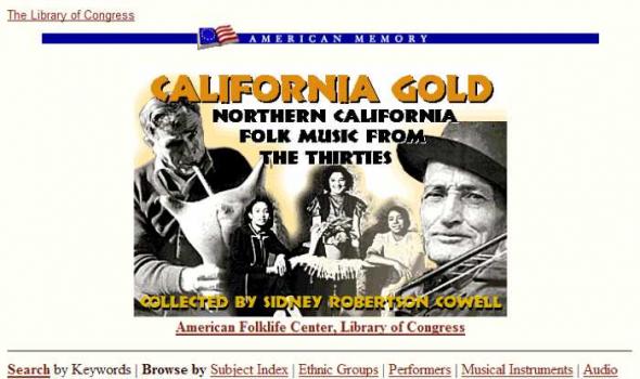
The WPA California Folk Music Project is a multi-format ethnographic field collection that includes sound recordings, still photographs, drawings, and written documents from a variety of European ethnic and English- and Spanish-speaking communities in Northern California. The collection comprises 35 hours of folk music recorded in twelve languages representing numerous ethnic groups and 185 musicians. This elaborate New Deal project was organized and directed by folk music collector Sidney Robertson Cowell for the Northern California Work Projects Administration.

About New York Heritage is a project of the NY 3Rs Association, Inc. New York Heritage is a project of the NY 3Rs Association, Inc. New York Heritage is a research portal for students, educators, historians, genealogists, and anyone else who is interested in learning more about the people, places and institutions of New York State. The site provides free access to more than 170 distinct digital collections, totalling hundreds of thousands of items. The collections in New York Heritage represent a broad range of historical, scholarly, and cultural materials held in libraries, museums, and archives throughout the state. Collection items include photographs, letters, diaries, directories, maps, newspapers, books, and more.
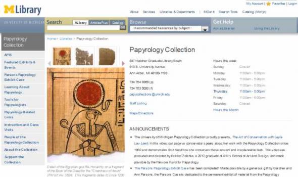
ANNOUNCEMENTS The continued Web presence of the Papyrology Collection is made possible by: The University of Michigan Library , The National Endowment for the Humanities , The Dorot Foundation , The Center for Research on Learning and Teaching (CRLT) , U-M Office of the Vice President for Research , The R.G. Conger Fund, The Edwin E. and Mary U. Meader Papyrology Endowment, and The Parsons Fund. CONTACT We welcome your feedback on our web site. University Library 818 Hatcher Graduate Library South 913 S. University Avenue Ann Arbor, MI 48109-1190

About the Photo Collection Share with Friends The San Francisco Historical Photograph Collection contains photographs and works on papers of San Francisco and California scenes ranging from 1850 to the present. This collection includes views of San Francisco street scenes, buildings, and neighborhoods, as well as photographs of famous San Francisco personalities. The collection consists mostly of the photo morgue of the San Francisco News-Call Bulletin , a daily newspaper, ranging from 1920s to 1965. The collection also contains albums, slides, postcards, cabinet cards, stereoviews, and lantern slides of San Francisco and California subjects. Copies of images may be ordered with the Reproduction of Images Form (PDF 31K).
Terra Foundation Center for Digital Collections Welcome to the Terra Foundation Center for Digital Collections, a virtual repository of a substantial cross-section of the Archives' most significant collections. Since 2005, over one hundred archival collections have been scanned and posted online in their entirety. In addition, more than 12,000 documents have been individually catalogued and are accessible through the Image Gallery . We invite you to browse and to visit again: content is continuously added. Learn more about the Background on the Terra Foundation Center for Digital Collections and the Archives' innovative approach to digitization. Funding is generously provided by the Terra Foundation for American Art .
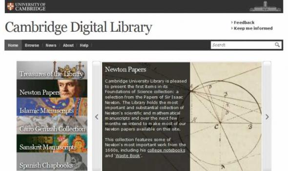
Cambridge Digital Library Introducing the Cambridge Digital Library Cambridge University Library contains evidence of some of the greatest ideas and discoveries over two millennia. We want to make our collections accessible to anyone, anywhere in the world with an internet connection and a thirst for knowledge." —Anne Jarvis, University Librarian Over the course of six centuries Cambridge University Library's collections have grown from a few dozen volumes into one of the world's great libraries, with an extraordinary accumulation of books, maps, manuscripts and journals. These cover every conceivable aspect of human endeavour, spanning most of the world's cultural traditions.