Category
Results
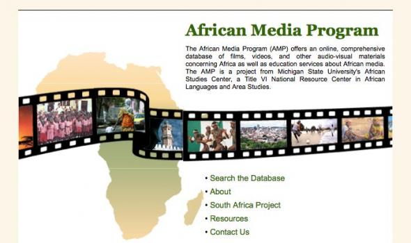
In 2002 the African Media Program offers an on-line comprehensive reference guide to approximately 10,000 films, videos, and other audiovisual materials concerning Africa (both Sub-Saharan and North Africa). It includes film and video productions made in Africa and around the world. This new database incorporates and updates material contained in the 1982 print compendium, adds many new reviews, and provides as complete a citation as possible from a wide variety of sources.

Africa Past and Present is a podcast about history, culture, and politics in Africa and the diaspora. The show highlights interesting and significant people, ideas, and discussions in African Studies from a wide range of disciplines and perspectives. Our mission is to broaden the availability and accessibility of cutting-edge knowledge relating to African experiences and to do so in a down-to-earth and informed manner. Shows feature interviews with eminent scholars and persons, commentary on current events, and issues and debates of relevance to Africans at home and abroad.

Pluralism and Adaptation in the Islamic Practice of Senegal and Ghana is a digital library of multi-media resources that demonstrate how innovative Africans have been in the history of Islam and Islamic practice and how they continue to live and experience Islam.
Four digital galleries – two from Senegal and two from Ghana – emphasize pluralism - the coexistence and indeed the mutual respect among people of different religious persuasions - and adaptation – situations where Islam takes root in a particular society and culture that changes over time.
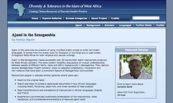
Ajami is the centuries-old practice of using modified Arabic scripts to write non-Arabic languages. It comes from the Arabic word for foreigner or non-Arab and is used widely throughout West Africa for both religious and secular writings.
Ajami in the Senegambia makes accessible over 20 handwritten ajami manuscripts produced by West African scholars. The texts contain insightful discussions on mutual understanding between people of different faiths, races and ethnic backgrounds in Senegambia. They capture several Senegambian Muslim scholars' views on peaceful cohabitation, moderation and non-violence that have been a prominent feature of Senegambian communities.
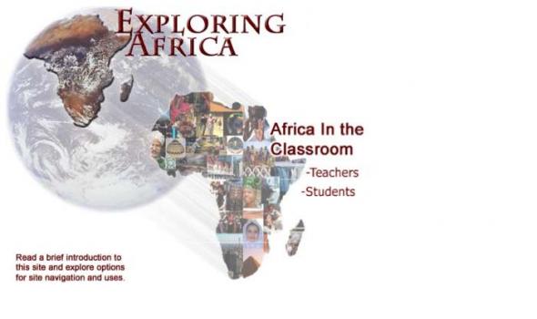
The Exploring Africa! curriculum is divided into Units, Modules, and Learning Activities. Each unit covers a major topic or theme in the study of Africa. Each unit is divided into thematic, disciplinary, regional, or country modules. Each module is comprised of four to eight learning activities. The learning activities in each module vary in length of time needed for completion. Consequently, each module will take between two and five standard 50-minute class periods to complete. Teachers are free to select one or two learning activities from a module or to complete all of the learning activities.
The African e-Journals Project makes journals published in Africa and about Africa more available to scholars worldwide.
The project offers two major resources. First, a directory of journals about Africa provides information about where to find tables of contents and abstracts, full text of articles online, and journal webpages, where they are available.
Second, a full-text archive is provided of back issues of 11 scholarly journals published in Africa in the social sciences and humanities.
The South Africa Film and Video Project (SAFVP) assists in preserving and making accessible moving images from the years of struggle against apartheid. This project aims to safeguard memories of this important political movement and to inspire citizens of South Africa and the world to promote justice and reconciliation in our own time. In addition to on-line streaming of the productions, copies of some materials are being made available through the MSU Libraries.
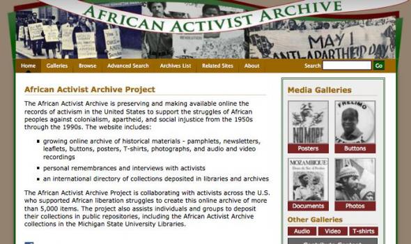
The African Activist Archive is preserving and making available online the records of activism in the United States to support the struggles of African peoples against colonialism, apartheid, and social injustice from the 1950s through the 1990s. The website includes:
growing online archive of historical materials - pamphlets, newsletters, leaflets, buttons, posters, T-shirts, photographs, and audio and video recordings
personal remembrances and interviews with activists
an international directory of collections deposited in libraries and archives

Feature Video The CVET archive is a unique, publicly accessible video record of the peak of popular resistance against apartheid. Browse Genres February 13, 1990 This project is supported by the South African Film and Video Project .
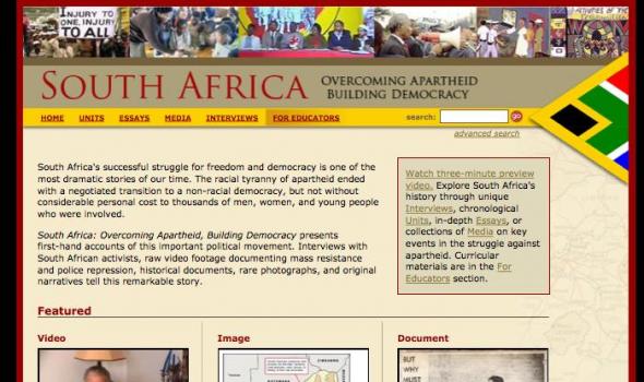
About Overcoming Apartheid and Michigan State University This educational website provides primary source materials, newly-written narrative, and curriculum ideas for teaching high school and undergraduate students about the many generations who struggled to end apartheid and build democracy in South Africa. Interviews with more than 60 people bring this history alive. Many important oral history projects are being undertaken in South Africa, but few are online. This website’s 40 hours of interviews – and 120 segments created from them – are a unique historical resource for anyone who cares about people determined to become free from oppression.

by Gracia Clark The Muslim men and women in this gallery live and work in Kumasi, Ghana. They are not professional scholars or teachers, but they are deeply interested in following the principles of Islam. Their interpretations of the requirements and values of their faith influence their behavior at home, with their neighbors and at work as traders and tailors. Muslims are a minority in their city and country, where Christianity is the dominant religious affiliation and indigenous spiritual practices remain popular. The broader community sometimes neglects their interests or discriminates against them, but they continue trying to live a virtuous life and to expand their understanding of the Koran through study groups and discussions.

Filipino Workers in Hawaii, 1926 FILIPINO WORKERS IN HAWAII, 1926 Photographs taken by Lt. Colonel Duckworth-Ford on an assignment to Hawaii regarding the labor conditions of Filipino laborers in Hawaii; they are described by Duckworth-Ford. The photographs show Filipino laborers and their relatives, fields and lands, water sources, plantation buildings, laborer housing and schools, store, hospital facility, labor officials. Also sugar cane planting and harvesting, cane processing equipment, cane transport.
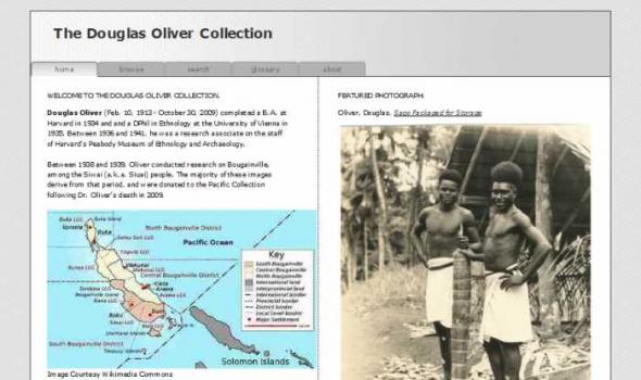
The Douglas Oliver Collection WELCOME TO THE DOUGLAS OLIVER COLLECTION. Douglas Oliver (Feb. 10, 1913 - October 30, 2009) completed a B.A. at Harvard in 1934 and and a DPhil in Ethnology at the University of Vienna in 1935. Between 1936 and 1941, he was a research associate on the staff of Harvard's Peabody Museum of Ethnology and Archaeology. Between 1938 and 1939, Oliver conducted research on Bougainville, among the Siwai (a.k.a. Siuai) people. The majority of these images derive from that period, and were donated to the Pacific Collection following Dr. Oliver's death in 2009. Image Courtesy Wikimedia Commons Related Information : Association for Social Anthropology in Oceania, Winter 1990 "Douglas L. Oliver, 1913-2009"
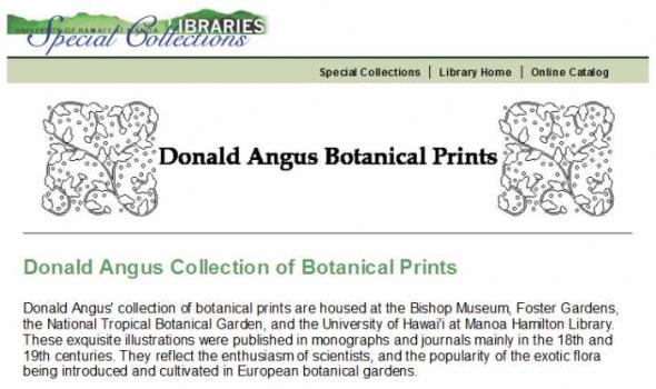
Donald Angus Collection of Botanical Prints Donald Angus' collection of botanical prints are housed at the Bishop Museum, Foster Gardens, the National Tropical Botanical Garden, and the University of Hawai'i at Manoa Hamilton Library. These exquisite illustrations were published in monographs and journals mainly in the 18th and 19th centuries. They reflect the enthusiasm of scientists, and the popularity of the exotic flora being introduced and cultivated in European botanical gardens. Many prints in the Angus collection are from Monandrian Plants of the Order Scitamineae by William Roscoe (1753-1831). Roscoe, a wealthy banker and amateur botanist, founded the Liverpool Botanic Garden in 1802.
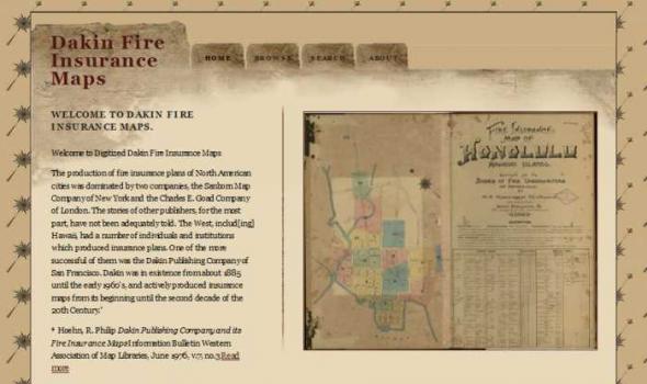
Dakin Fire Insurance Maps WELCOME TO DAKIN FIRE INSURANCE MAPS. Welcome to Digitized Dakin Fire Insurance Maps The production of fire insurance plans of North American cities was dominated by two companies, the Sanborn Map Company of New York and the Charles E. Goad Company of London. The stories of other publishers, for the most part, have not been adequately told. The West, includ[ing] Hawaii, had a number of individuals and institutions which produced insurance plans. One of the more successful of them was the Dakin Publishing Company of San Francisco. Dakin was in existence from about 1885 until the early 1960's, and actively produced insurance maps from its beginning until the second decade of the 20th Century. * * Hoehn, R.
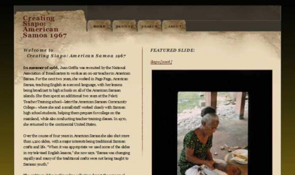
Creating Siapo: American Samoa 1967 Welcome to Creating Siapo: American Samoa 1967 In summer of 1966, Joan Griffis was recruited by the National Association of Broadcasters to work as an on-air teacher in American Samoa. For the next two years, she worked in Pago Pago, American Samoa, teaching English as a second language, with her lessons being broadcast to high schools on all of the American Samoan islands. She then spent an additional two years at the Feleti Teacher Training school—later the American Samoan Community College—where she and a small staff worked closely with Samoan high school students, helping them prepare for college on the mainland, while also conducting teacher training classes. In 1970, she returned to the continental United States.
Japanese American Veterans Collection Chaplain Higuchi Wartime Correspondence During World War II, Hiro Higuchi of Hawaii volunteered to serve as one of two chaplains attached to the 442nd Regimental Combat Team, an all-Japanese American unit formed in January 1943. Following his enlistment, Higuchi attended the U.S. Army Chaplain School at Harvard University in the fall of 1943. In November 1943, he joined the soldiers of the 442nd RCT for intensive training at Camp Shelby, Mississippi. In June 1944, Higuchi accompanied the 442nd RCT to Europe, where he served with the unit in Italy and France. Chaplain Hiro Higuchi returned home to Hawaii in December 1945.
Within the vast body of literature on Asia held by the Asia Collection at the University of Hawaii are fascinating illustrations of the people of Asia and the environment in which they live. These images are a visual record of the lives of the people and their surroundings. The sheer number of illustrations makes digitizing all of them an impossible task, so we have decided to concentrate on the theme "Asia at Work." Work is the activity by which so many of us identify ourselves. The tools we use, the human interaction and cooperation that occurs in the course of its performance, and the skills we employ all, to a great extent, help define who we are. Images are arranged by country.
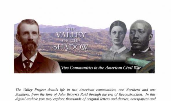
The Valley Project details life in two American communities, one Northern and one Southern, from the time of John Brown's Raid through the era of reconstruction. In this digital archive you may explore thousands of original letters and diaries, newspapers and speeches, census and church records, left by men and women in Augusta County, Virginia, and Franklin County, Pennsylvania. Giving voice to hundreds of individual people, the Valley Project tells forgotten stories of life during the era of the civil war.
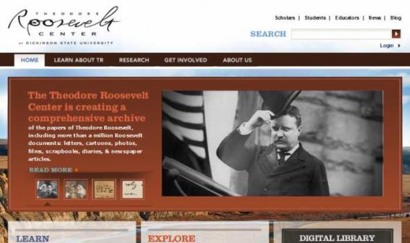
My Collections DIGITAL LIBRARY The Theodore Roosevelt Digital Library includes letters to and from Roosevelt, diary entries, notes, political cartoons, scrapbooks, and more. Timeline Explore the timelines for important dates in TR’s personal and political life, military career, publications, hunting and exploration trips, as well as his time in Dakota Territory. About Us News Explore digital updates, articles and upcoming events. Mission Our goal here at the Theodore Roosevelt Center is to raise the profile of Theodore Roosevelt and to preserve his legacy through events, publications, and the creation of a comprehensive digital presidential library that is freely accessible worldwide via the internet.
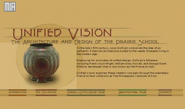
Francis W. Little House Hallway at The Minneapolis Institute of Arts (Francis W. Little House Frank Lloyd Wright, 1913-15) Unified Vision tells the story of the Prairie School through the collection of The Minneapolis Institute of Arts, which includes a large group of furniture and other objects from Prairie School structures in Minnesota, Illinois, and Iowa. Featured architects include William Gray Purcell, George Grant Elmslie, Frank Lloyd Wright, and George Washington Maher. In addition, the collection includes an important Prairie School home, the Purcell-Cutts house, designed in 1913 by Purcell and Elmslie. This program offers a closer look at the Institute's objects and those who designed them, as well as an extensive tour of the Purcell-Cutts house.