Category: Map
Results

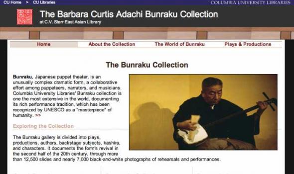
Collections from the University of Alaska: Maps. The Rare Map Collection at the Rasmuson Library contains thousands of maps that document the history of Alaska, from 16th century speculative cartography to the gold rush era. This selection of maps provides basic coverage of the mapping of Alaska, from the early voyages of discovery through the sale of Russian America to the United States and the gold rush. The maps depict the growth of geographic knowledge that resulted from the great expeditions of the eighteenth and early nineteenth centuries,and also illustrate the carto-controversies that arose from various imagined geographies and fictitious voyages of discovery. A new map of the northeast coast of Asia, and the northwest coast of America, with the late Russian discoveries.
Latest News Clarence Alexander Long Time Jukebox Contributor is Honored by President Obama Submitted by admin on Fri, 10/14/2011 - 09:19 Watch Clarence's climate change interview at Stakeholders & Climate Change Bethel Communities of Memory is now available The Bethel Communities of Memory Project Jukebox features people from the Bethel area talking about life in their remote community. The original gathering took place in 1996, but many of the stories still hold true. Dog Mushing in Alaska Project Jukebox is live! The Dog Mushing in Alaska Project Jukebox website features oral histories, historic film clips, and still photographs to highlight various aspects of dog mushing in Alaska.
About Alaska's Digital Archives The Alaska Virtual Library and Digital Archives project is a collaborative effort initiated by the Rasmuson Library at the University of Alaska Fairbanks, the Consortium Library at the University of Alaska Anchorage, and the Alaska State Library in Juneau. Learn more about our partners . Now in its third phase, the initiative is funded by a congressional award and contributions from these institutions with additional support of the Rasmuson Foundation. The goal of the project is to support the instructional and research needs of Alaskans and others interested in Alaska history and culture. Initial activities focused on scanning, indexing, and placing 5,000 historical images into an online, searchable database.

I nteractive N umeric & S patial I nformation D ata E ngine Non-georeferenced Scanned Historic Air Photos for Idaho The Historic Air Photo online mapping application provides a way to geospatially locate a selected set of non-georeferenced scanned historic air photos for Idaho contained in the Idaho aerial views database. It allows users to determine the flight year, the University of Idaho CD-ROM call number, and the image name for every fifth image along a given project flight line.
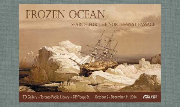
Introduction From the time of Columbus, the American continent was seen by Europeans as a barrier between Europe and the Orient. A passage through it was the prime object of many voyages of exploration. Magellan had sailed around South America in 1520, but the icy northern shores were mysterious and seemed unassailable. The search for a sea route across the top of North America began in the 16th century as a commercial venture sponsored by London merchants. By the 19th century it was obvious that a Northwest Passage would not be a useful seaway, but finding it became an obsession, as did the attainment of the North Pole late in the century.

Introduction The Special Collections at the Toronto Reference Library reveal a wonderful diversity of focus, form, age and content. Together, they form a cultural legacy that began in the late nineteenth century with the opening of Toronto's first public library. They continue to grow through acquisition and donation to ensure that users today and tomorrow have free access to their cultural and literary heritage. From the humble to the exquisite, each item in the collection has been treasured and preserved, and its story maintained by the librarians of the Toronto Public Library. In celebration of the Toronto Reference Library's thirtieth year at 789 Yonge Street, we proudly present a special exhibition from these collected works.
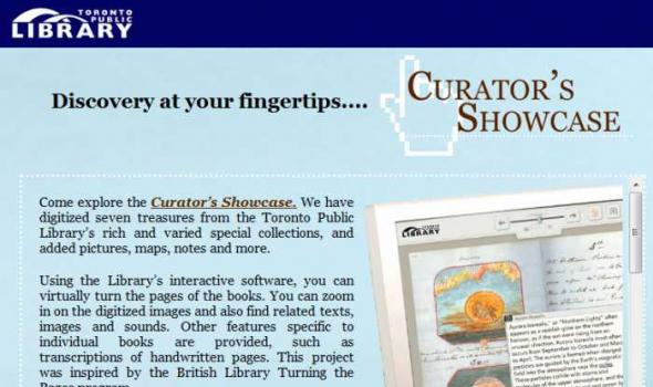
Discovery at your fingertips.... Come explore the Curator’s Showcase. We have digitized seven treasures from the Toronto Public Library’s rich and varied special collections, and added pictures, maps, notes and more. Using the Library’s interactive software, you can virtually turn the pages of the books. You can zoom in on the digitized images and also find related texts, images and sounds. Other features specific to individual books are provided, such as transcriptions of handwritten pages. This project was inspired by the British Library Turning the Pages program. To experience a touch sensitive version of the Showcase, visit the Special Collections Digital Kiosk at the Toronto Reference Library .
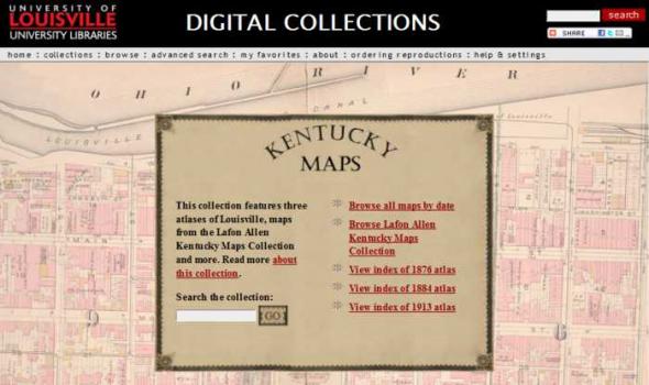
DIGITAL COLLECTIONS by Tom Owen Historic maps attract inquiry on several levels. For some, they are works of art with color coding and linear preciseness. Early maps also reveal the limits of the known that the cartographer faced and the terrible limits on the information gathering techniques that were available to them. Indeed, maps are always a study in "looking through a glass darkly." Historic maps are a delightful testimony to the archetypal human need to know. As we look upon this collection of Kentucky maps we marvel at the intense curiosity about a single place - sometimes the tiniest place - that the map maker chose to record.

Florida Promotional Materials Attracting people to Florida has always been an integral part of the state's developmental goals. The Florida Promotional Materials collection consists of a variety of promotional materials designed to draw tourists and settlers to the state. Included are numerous brochures, maps, and clippings that highlight historical sites such as the Barnacle Museum. Also featured are hotels, important for their historical and practical value, and recreational opportunities.
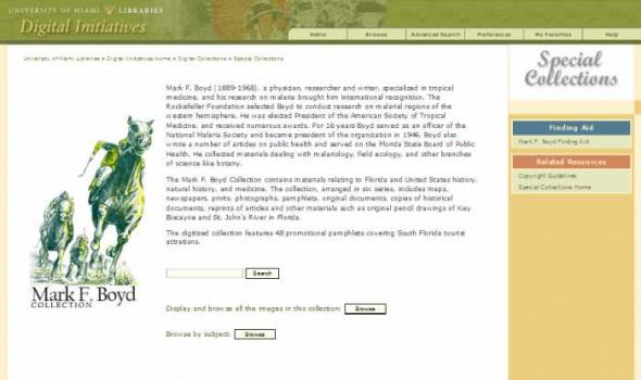
Mark F. Boyd (1889-1968), a physician, researcher and writer, specialized in tropical medicine, and his research on malaria brought him international recognition. The Rockefeller Foundation selected Boyd to conduct research on malarial regions of the western hemisphere. He was elected President of the American Society of Tropical Medicine, and received numerous awards. For 16 years Boyd served as an officer of the National Malaria Society and became president of the organization in 1946. Boyd also wrote a number of articles on public health and served on the Florida State Board of Public Health. He collected materials dealing with malariology, field ecology, and other branches of science like botany. The Mark F.
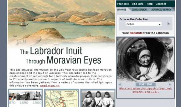
This site provides information on the 250-year relationship between Moravian missionaries and the Inuit of Labrador. This interaction led to the establishment of settlements for a formerly nomadic people, their conversion to Christianity and exposure to aspects of North American culture. The information has been gathered from a variety of sources that shed light upon this unique adventure. Read more
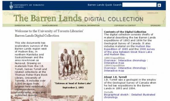
This site documents two exploratory surveys of the Barren Lands region west of Hudson Bay, in northern Manitoba and Saskatchewan and the area now known as Nunavut. Drawing on materials from the J.B. Tyrrell, James Tyrrell and related collections at the Thomas Fisher Rare Book Library, University of Toronto, it includes over 5,000 images from original field notebooks, correspondence, photographs, maps and published reports.
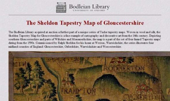
The Sheldon Tapestry Map of Gloucestershire The Bodleian Library acquired at auction a further part of a unique series of Tudor tapestry maps. Woven in wool and silk, the Sheldon Tapestry Map for Gloucestershire is a fine example of cartography and decorative art from the 16th century. Depicting southern Gloucestershire and parts of Wiltshire and Monmouthshire, the map is a part of the set of four famed 'Tapestry maps' dating from the 1590s. Commissioned by Ralph Sheldon for his home at Weston, Warwickshire, the series illustrates four midland counties of England: Gloucestershire, Oxfordshire, Warwickshire and Worcestershire.
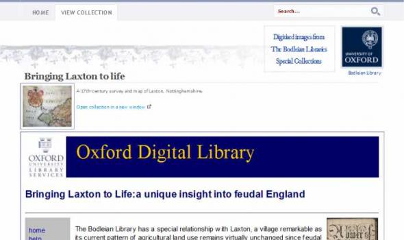
Home View Collection Digitised images from The Bodleian Libraries Special Collections Bodleian Library Search: Bringing Laxton to life A 17th-century survey and map of Laxton, Nottinghamshire.
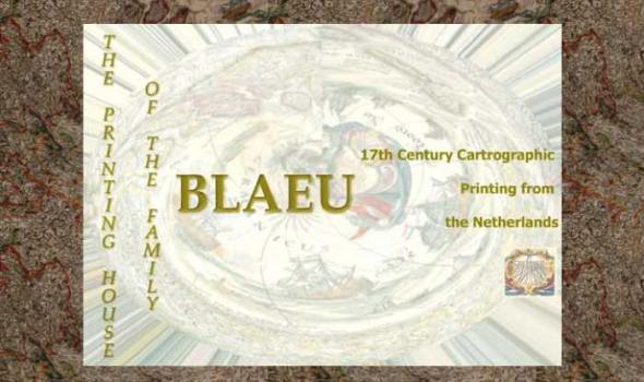
The Printing House of the Family Blaeu: 17th Century Cartographic Printing from the Netherlands During the seventeenth century the people of the seventeen united provinces of the Netherlands experienced a period of tremendous economic prosperity. As a water-logged society with few land-based natural resources of their own, the Dutch developed into a highly efficient maritime culture that feverishly explored the globe to find goods that were in demand on the continental European market. Along with numerous advances in the fields of science, industry, business, and linguistics, the Dutch also became experts at book and cartographic printing.
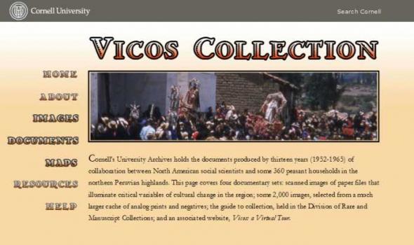
Cornell Vicos Collection About the Vicos Collection The Program represents an optimistic view of both the possibilities for and the benefits of change. The contemporary North American view emphasized the importance of agricultural productivity as a means to improve closed, ignorant, impoverished communities such as Vicos. In addition, the social science of the time stressed the essential relationship between economic development national integration. The Vicosinos would exercise the duties of citizenship in exchange for the rights that the Peruvian nation afforded them. Evaluations of the Cornell-Peru Program describe it as a qualified success.

This collection consists of digitally reproduced images of paper maps from the Cornell University Library's Map Collection. Included are maps from locations around the world, ranging in date from the nineteenth century to the present. While this collection will continue to grow, it will still only represent a fraction of the 300,000 maps, atlases, and other forms of geospatial data that make up the Map Collection. Located in Olin Library, the Map Collection is open to the public.
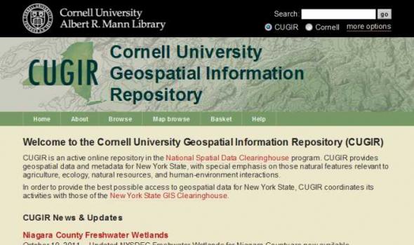
CUGIR: Cornell University Geospatial Information Repository About the Cornell University Geospatial Information Repository (CUGIR) CUGIR is an active online data and metadata repository and a participating node in the National Spatial Data Infrastructure program. CUGIR provides open and free access to geospatial data and metadata for New York State, with special emphasis on natural features relevant to agriculture, ecology, natural resources, and human-environment interactions. Subjects such as landforms and topography, soils, hydrology, environmental hazards, agricultural activities, wildlife and natural resource management are appropriate for inclusion in the CUGIR catalog.
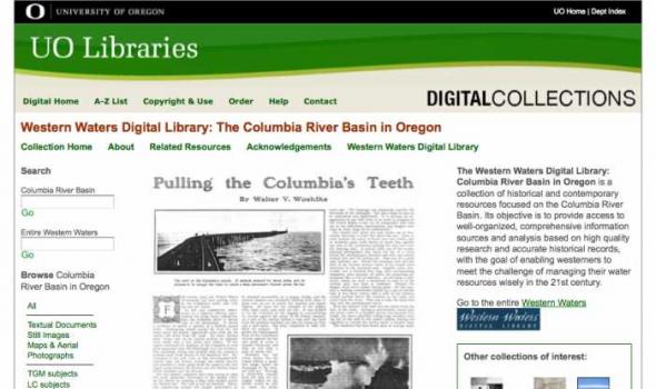
About - Columbia River Basin Project Background The University of Oregon Libraries are participating in a collaborative project to develop a digital collection of print, image, cartographic, and other format materials relating to the waters of the Western United States. The project is partially funded by a grant from the Institute of Museum and Library Services (IMLS) and is administered centrally by the Greater Western Library Alliance (GWLA) of which the UO Libraries are a member. The Western Waters Digital Library (WWDL) is a distributed collection of materials from research institutions in the Western United States of America.

FAQ Local and Regional Documents Archive About This Project The Local and Regional Documents Archive is a service of the University of Oregon Libraries. The project seeks to serve the citizens of Oregon and researchers around the world by providing a central repository and archive of significant documents produced by local governments and regional offices of United States federal government agencies within the state. Governments and agencies represented in the database include: Among the types of documents included in the archives are local planning documents, city development codes, sub-area plans, documents required by the National Environmental Policy Act (NEPA), land management planning documents, resource management plans, and environmental opinions.
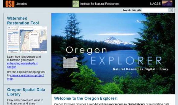
Oregon Explorer is a comprehensive digital library of Oregon's natural resources. This state-of-the-art, Web-based resource uses advanced information technology to access and integrate data from state and federal agencies, local governments, university scientists, citizens, and K-12 educators and students. It supports informed decisions and actions by people concerned with Oregon's natural resources and environment.
Through a series of geographic, data and topic-based Web portals, Oregon Explorer helps users: